NZ: I know that it’s time, for a cool change…
12/01/2026 10:41pm

To quote the Little River Band, it’s time for a Cool Change – with daytime temperatures dropping in a number of regions, especially those in the south and east of both main islands, over the days ahead.
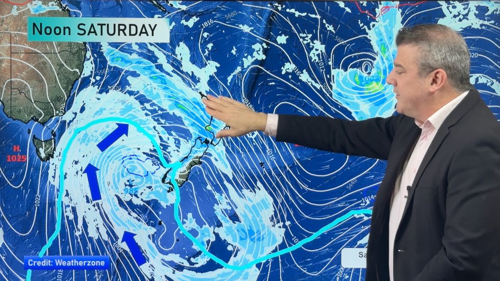
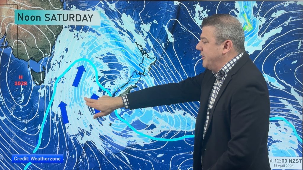
The reason? A large anticyclone south of Tasmania. This strong high pressure zone is dredging up subantarctic air and pushing it into southern and eastern regions in the coming days. Some places only have maximum temperatures in the low to upper teens – quite the contrast to the mid to upper 30s some places had over the weekend.
The cool (or cold for some) air may hang around for a number of days – not the greatest beach weather in some locations, but not all regions are as affected – especially those in the north and west going into the weekend.
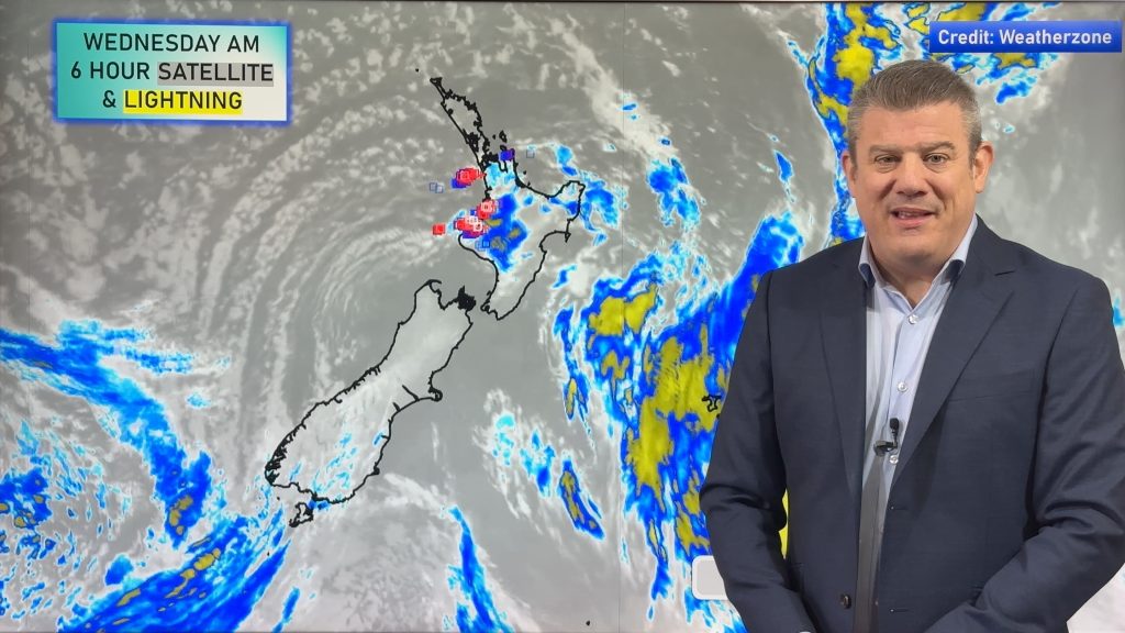
There is also a weak area of low pressure crossing NZ over Wednesday bringing some patchy rain, and showers – some might be heavy with thunderstorms as we go into the end of the working week as the low falls apart.
We’re also monitoring the tropics where a couple of lows are worth keeping an eye on going into next week around Vanuatu and New Caledonia.
Programming Note:
We have no weather videos on Wednesday this week, back again on Thursday!


Add new comment