Thunderstorms & downpours as cold front moves through
5/06/2026 12:08am
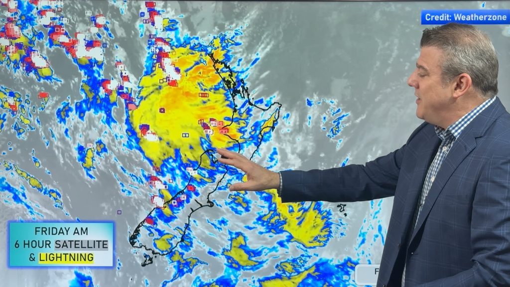
More heavy downpours and thunderstorms are expected across Friday and into Saturday as a cold front moves through and clears the country, with a colder southerly flow moving up the South Island overnight tonight and across Saturday, then cooler/colder air moves into the North Island.
Monday kicks off on the edge of high pressure – meaning Sunday and Monday may be similar with some showers about but large dry areas developing and winds mainly from the south.
As we go through next week high pressure moves in, bringing lighter winds and a chance of some frosts and fog mid to late week.
Latest Video

Wintry blast coming this weekend, everyone will feel the temperature drop
A significant cold change is coming in this weekend, starting as early as Friday for the lower South Island and…
Related Articles
Wintry blast coming this weekend, everyone will feel the temperature drop
A significant cold change is coming in this weekend, starting as early as Friday for the lower South Island and…

Tracking the showers & a potential wintry blast late next week
NZ is on the edge of high pressure with anticyclones moving through at times over the next several days bringing…

Some polar airflows but more high pressure to affect NZ’s weather
Showers are in the forecast over the next several days, we track where and when they occur – but there…

