Weather Forecast for Dunedin25m above sea level
Windy, with showers. Breezy to brisk West to Sou'West winds.
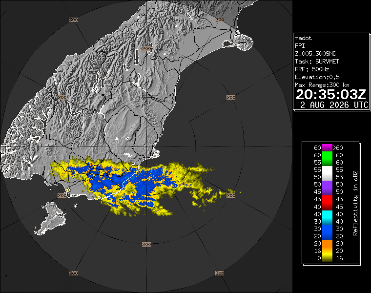
Now
Tonight
Tomorrow
Next 24 Hours in Dunedin
Next 9 Days in Dunedin
Day
Night
30km/h
chance
of rain
2mm
Day
Night
10km/h
chance
of rain
trace
Day
Night
9km/h
chance
of rain
trace
Day
Night
14km/h
chance
of rain
trace
Day
Night
11km/h
chance
of rain
trace
Day
Night
11km/h
chance
of rain
trace
Day
Night
18km/h
chance
of rain
trace
Day
Night
17km/h
chance
of rain
trace
Day
Night
22km/h
chance
of rain
trace
Comments
Comments have now been switched off as we are primarily a weather data website, please follow us on social media to comment on day to day weather.
Facebook: facebook.com/WeatherWatch.co.nz
X (Twitter): twitter.com/WeatherWatchNZ
Instagram: instagram.com/nzweatherwatch
YouTube: youtube.com/c/WeatherWatchNZ1
Have questions of a commercial nature? Contact us directly here.
Thanks for your support!
Don’t forget to check out our RuralWeather.co.nz website (great for event planning or attending + camping!) and also, our brand new Weather Alerting App!

Latest Video

Cold weekend, frosts return with high pressure, then a low late next week
The subantarctic airflow spreads over NZ today/tonight and into Saturday, dropping temperatures nationwide. Snow flurries are possible today to lower…


Blake Harvie on 6/05/2026 1:58am
The weatherwatch ‘day’ starts at 7am and finishes at the same time the following day. A 24 hour period.
Are you satisfied that this best meets the needs of your viewers?
It’s confusing somewhat I feel. I could look at Thursday for example and there’s no rain predicted… when in fact there might be a strong possibilty of rain on Thursday between 0000 and 0700. But you’ve accounted for that rain on Wednesday. It’s just not correct. A civil/calendar day would be better in my opinion.
Cheers,
Blake
WW Forecast Team on 6/05/2026 2:10am
Hi Blake, that is the way the data is delivered to us and currently we don’t have a work around for it. Visit RuralWeather.co.nz or download our app for clearer rain graphs.
Kind regards,
– WW
Bruce on 10/05/2026 7:11am
7am is a start of the day ,after a night of sleep. I think the 7am to 7 am day is good practical solution.
It shows overnight rain etc as part of that night, not rain to midnight then rain to 7 am, so you don’t have to add two figures together to get the overnight forecasted rain.
In the olden days before computerisation to weather day was 9 am to 9 am, so the met staff could do their reading during the working day.
Fi on 11/05/2026 4:39pm
Yeah, I agree, I like it like that too. Most of the time I want to know what is happening when I’m going to be outside working, not asleep in bed. I check out the hourly breakdown for a closer look if I want to know more.
Colin Gibbs on 30/04/2026 12:00am
Hi, there is a lot of noise on social media and news sites about the El Nino this year. Maybe you could do a video with the facts as they are known as of now?
WW Forecast Team on 30/04/2026 12:13am
Hi Colin, we will do next week 🙂
– WW
josh on 30/04/2026 12:57am
drought for Auckland and for places that been flooding last 4-5 years?
View more comments