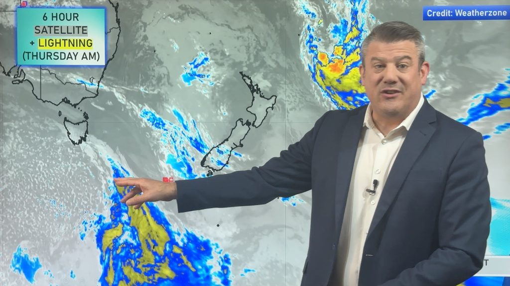
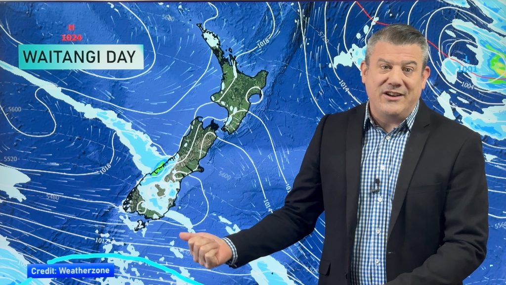
VIDEO: Incredible satellite imagery of the Tonga eruption (x4)
16/01/2022 5:14am

> From the WeatherWatch archives
WeatherWatch.co.nz has compiled some of the more striking satellite imagery of the volcanic eruption in Tonga – all showing 24 hour animation loops.
Images courtesy: Himawari.
The size of the eruption is enormous – and the sonic ripple you see from the epicentre not only covered the South Pacific, but the entire globe.
It was detected across the UK around 14 hours later by weather stations (both private and Government).
WeatherWatch.co.nz has rolling coverage with satellite map updates and many more videos and animations.
Comments
Before you add a new comment, take note this story was published on 16 Jan 2022.


Add new comment