Waitangi Day (& long weekend) weather outlook
3/02/2026 10:55pm
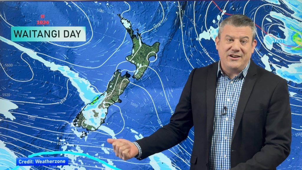
High pressure is the dominating force in our weather but due to the placement of various high pressure centres it means varying wind directions, cloud cover and even a few showers.
Higher pressure usually brings lighter winds when it’s centred over us, or very near us – and certainly reduces any severe weather risks. But the set up for the next several days may still mean cloudy conditions and some, especially coastal areas, may still have some cooler breezes.
We’re also monitoring a low pressure zone next week in the tropics – for now it does not pose a threat to NZ, but it’s been showing up for a few days now in longer range maps so thought it was worth simply pointing that out.
Comments
Latest Video

Rain & showers this weekend, colder change next week
Some places will warm up over the next day or so as a nor’wester out of Australia moves across NZ,…
Related Articles
Rain & showers this weekend, colder change next week
Some places will warm up over the next day or so as a nor’wester out of Australia moves across NZ,…

Temperature changes for some regions ahead of heavy West Coast rain
A nor-wester is about to kick in and it’s coming from out of Australia, boosting temperatures in some regions going…

NZ 7 day forecast: Showers, temp changes and heavy West Coast rain
NZ has a fairly messy forecast over the next 7 days, but the main feature will be heavy rain on…


Wazza on 4/02/2026 5:03am
Hi Phil,
Thanks for the weather updates 😊
Liking these forecasts as it looks like we’re finally getting those lazy Highs vs the Lazy Lows last month!
Com’on Summer!!
Warm regards,
Wazza
WW Forecast Team on 4/02/2026 7:26pm
Thanks Wazza, thanks for that. It’s definitely good to have a more settled spell finally. Finding it hard to talk about things in the weather videos – first time in months that has happened!
Cheers
Phil 🙂
josh on 4/02/2026 9:48pm
January was full of thunderstorms, downpours and week of rain. February looks drier yay. any chance of drought still this year? for Auckland?
WW Forecast Team on 5/02/2026 12:40am
Not in the next few months, and can’t forecast beyond that with anything reliable for an island nation. Nice to have the high pressure back, even if still a bit cloudy/showery for some.
– Phil