NZ 8 day: High pressure, a couple of weak cold fronts, isolated downpours
5/02/2026 12:00am
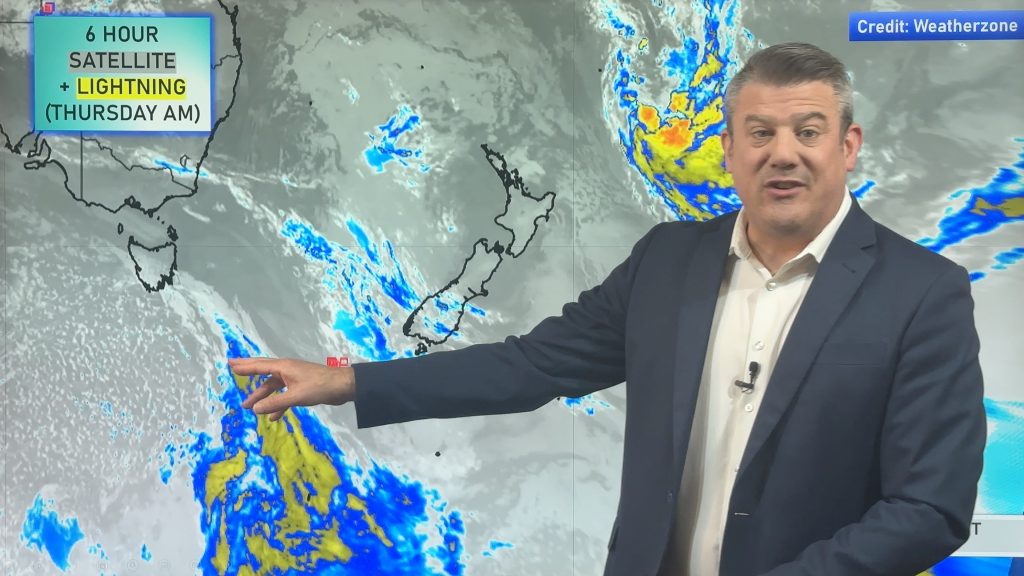
High pressure is the main feature for NZ for the next week ahead, but there will be showers in both main islands due to a little bit of local low pressure and a couple of cold fronts that brush the South Island. This means coastal areas in both islands are likely to have some temperature fluctuations as wind directions shift – but most places aren’t too windy, but the Cook Strait area and parts of the Southern Alps may have some locally brisk winds.
Most places are dry, although a few downpours and isolated thunderstorms are in the forecast over the coming week.
By later next week we may finally see the high pressure zones moving away from NZ, we’ll update you again on Monday about that possibility.
Have a great Waitangi Day and long weekend – catch you again on Monday.
Comments
Latest Video

Pockets of hit & miss heavy rain, snow moves northwards
Low pressure continues to slowly move across the upper North Island and for some that will bring the sun out,…
Related Articles
Pockets of hit & miss heavy rain, snow moves northwards
Low pressure continues to slowly move across the upper North Island and for some that will bring the sun out,…

Slow go for northern low & southern cold
For the next few days low pressure will crawl over the upper North Island, driving in rain as far south…

Slow moving low to track over northern NZ
A low pressure zone will slowly cross the North Island over the coming days, bringing hit and miss pockets of…


Bruce on 6/02/2026 12:21am
The huge high formed in the Indian Ocean is already feeling it’s way toward the Tasman and is already reaching out across the blight into Aussi…