VIDEO: El Niño officially here now – What this means for you
20/09/2023 12:38am

> From the WeatherWatch archives
It’s official, an El Niño weather pattern is now in place over New Zealand and Australia as conditions in the tropical Pacific are finally confirmed by the Bureau of Meteorology. In today’s video we break down what this means for where you live over the coming weeks and months.
We have a special detailed news update here about the announcement.
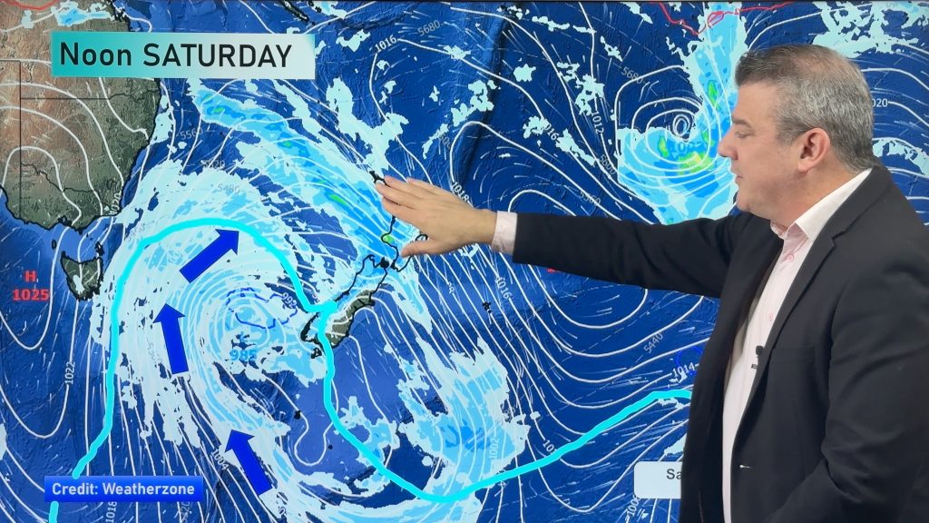
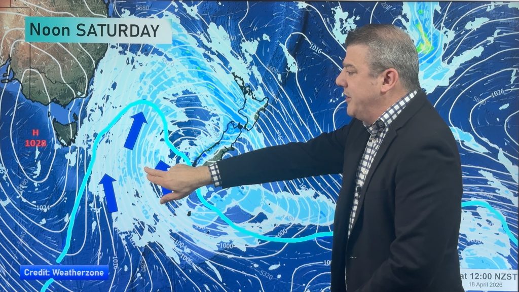
This isn’t our usual ClimateWatch update – it’s more like ClimateWatch LITE – and briefly covers expected rainfall and temperature patterns across both New Zealand and Australia in the coming months. NZ’s location on earth means some wet weather will still come in from the Southern Ocean – like we see this weekend – but the El Niño announcement does mean eastern and northern parts of both main islands are at the highest risk for drier and hotter weather, much like how it’s likely to be hotter and drier in Australia’s east and inland.
We also have a 15 day rainfall outlook for both NZ and Australia – which we’ll break down in more detail in next week’s October ClimateWatch update.
Our next ClimateWatch update will be out by the end of September, drilling into more detail for the rest of spring and how summer is shaping up.
Comments
Before you add a new comment, take note this story was published on 20 Sep 2023.


Add new comment