
Latest on the long weekend weather
27/05/2026 11:44am
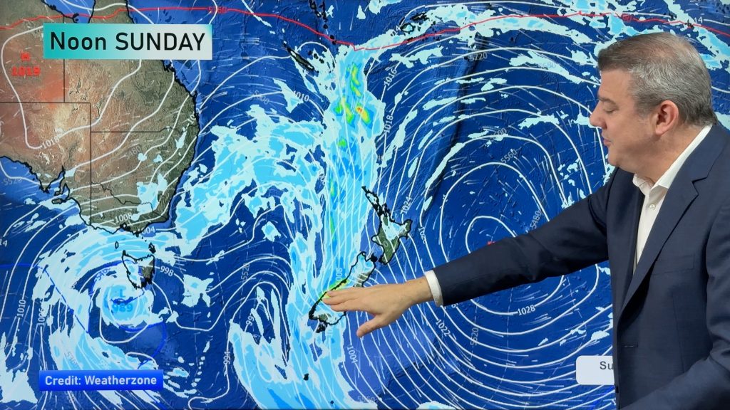
We still have another large high pressure zone to move over the nation, but subtropical northerlies will pick up this long weekend coming from out of the Vanuatu/Fiji area, boosting overnight lows and removing frosts and fog from the forecast. But over the coming days frost and foggy areas are expected until at least Friday, possibly Saturday morning too. See our fog forecaster at RuralWeather.co.nz if you’re travelling this week or weekend – or download our free WeatherWatch app and view it there. (https://www.weatherwatch.co.nz/mobile-app)
By Sunday and Monday rain/downpours and possible thunderstorms will move in to northern parts of both main islands, along with some heavy West Coast rain. Northerly quarter winds will also pick up and may reach gale force in some exposed locations.
We have your NZ weather outlook through to Tuesday of next week.
Latest Video
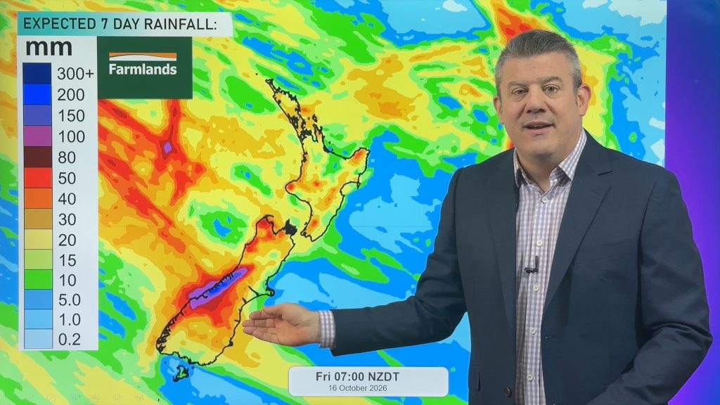
NZ: Instability to produce some wet weekend weather, cold change next week
Afternoon downpours will expand on Saturday with possible isolated thunderstorms as atmospheric instability (due to lower pressure zones east and…
Related Articles
NZ: Instability to produce some wet weekend weather, cold change next week
Afternoon downpours will expand on Saturday with possible isolated thunderstorms as atmospheric instability (due to lower pressure zones east and…
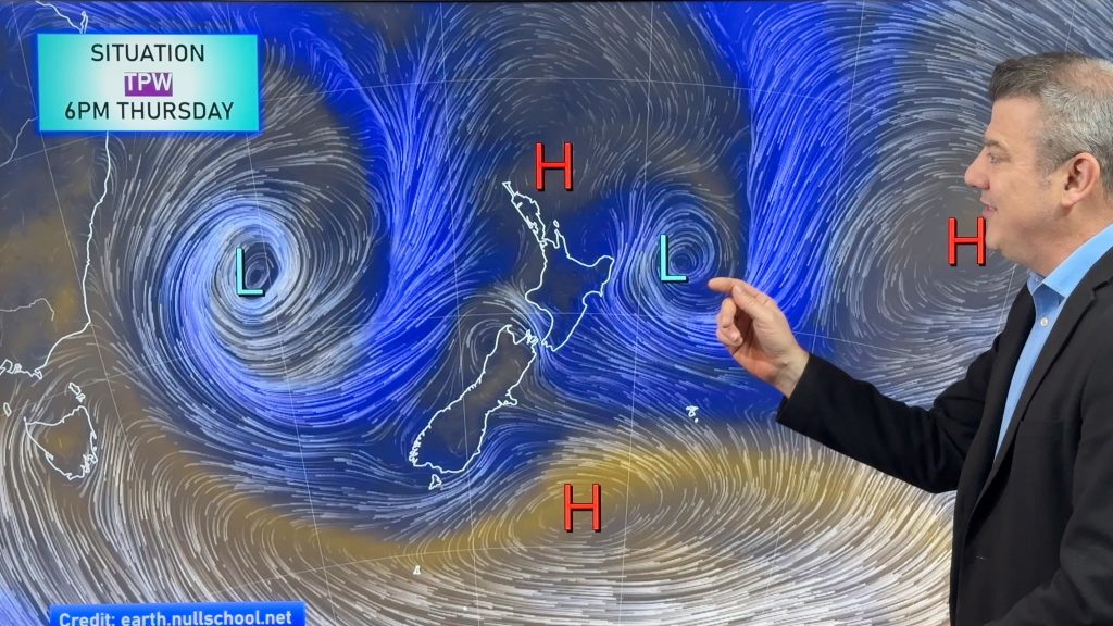
Weekend downpours in both main islands, temps increase
Warmer air will spread over more parts of NZ this weekend but it will come with showers, some downpours and…
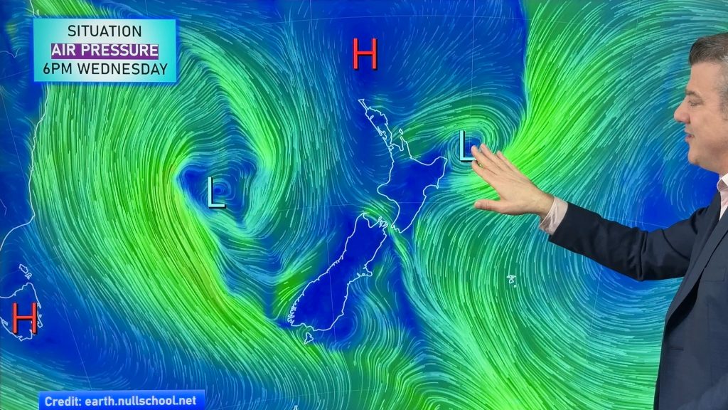
Downpours & showers developing, but still some large dry areas
NZ is between two lows and one big high right now, bringing different airflows into different parts of each main…

