
Daily downpours over NZ but high pressure (briefly) coming
11/11/2026 12:03pm
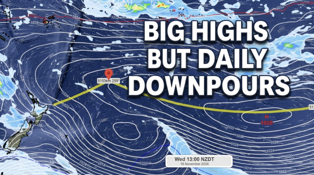
Winds turn westerly today as low pressure from the Tasman Sea moves into the lower SI and brings a westerly change to NZ – and pushes away the subtropical flow for a time.
With the low falling apart, and pockets of smaller low pressure remaining, instability and daytime heating will lead to further showers and isolated downpours (and still maybe an isolated thunderstorm) over teh coming days – but much larger dry spells in the mix.
High pressure crosses most of NZ this weekend – again – with some showers here and there and some coastal cloud too.
Next week we could be back to the next low pressure zone exiting Australia.
While some are surprised at how wet it is this week due to all the talk of El Nino this year, both WeatherWatch and NIWA have emphasised in every update that El Nino only affects a part of our weather and isn’t always the main influencer. In fact in NZ it’s estimated by NIWA that El Nino only affects 25% of our weather pattern. So with that in mind it’s not too surprising to see spring’s chaos – especially as the Southern Ocean is especially stormy this winter and spring – continuing to bring us rainmakers on top of a warmer than average Tasman Sea (which isn’t usually the case during El Nino – so it’s one step forwards one step backwards type of set up). El Nino was seriously drying out the North Island up until this week – and this recent rain sets NZ up well going into summer. Definitely a big positive for the end of 2026.
Programming Notes:
– Phil is off screen as we couldn’t use our studio today, apologies if any audio or visual changes. Back on screen tomorrow/Thursday.
Latest Video
Daily downpours over NZ but high pressure (briefly) coming
Winds turn westerly today as low pressure from the Tasman Sea moves into the lower SI and brings a westerly…
Related Articles
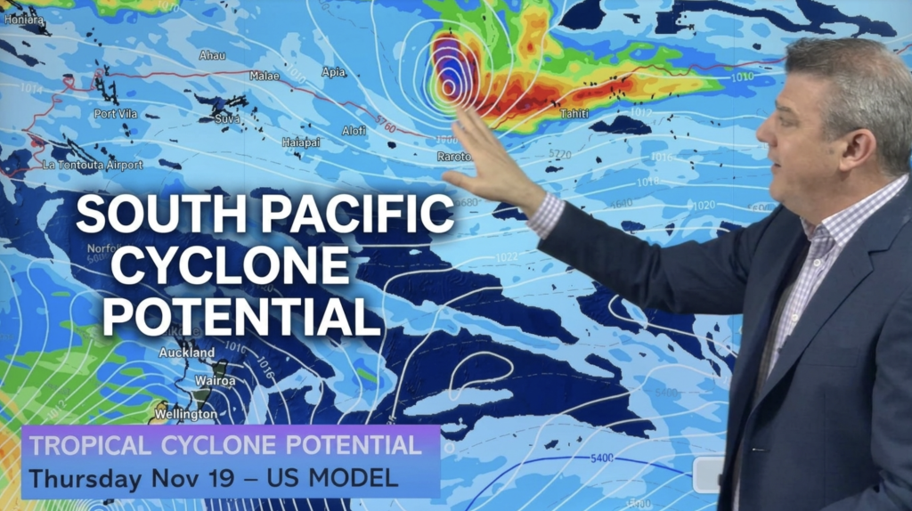
South Pacific: Tropical Cyclone Potential
SAMOA – COOK ISLANDS – FRENCH POLYNESIA — The second tropical cyclone of the season MAY form next week based…
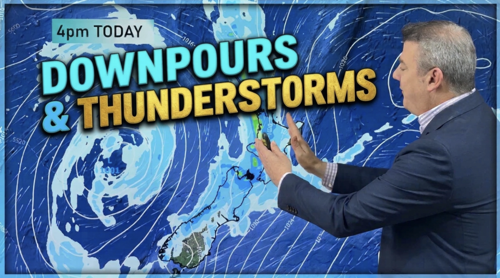
Downpours, thunderstorms and a return to westerlies
Rain, with isolated thunderstorms/downpours, will spread across large parts of NZ today, tonight and clears Wednesday – but followed by…
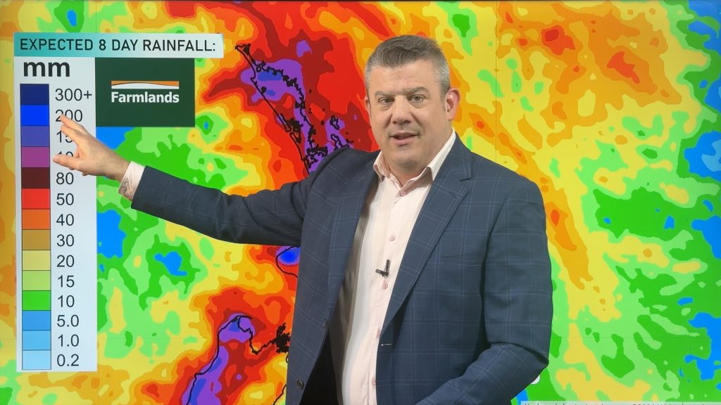
Thunderstorms, heavy rain potential 7 days ahead
Three low pressure zones look to bring rain into very dry parts of NZ over the coming days and week…