
Thunderstorms, heavy rain potential 7 days ahead
6/11/2026 12:06pm
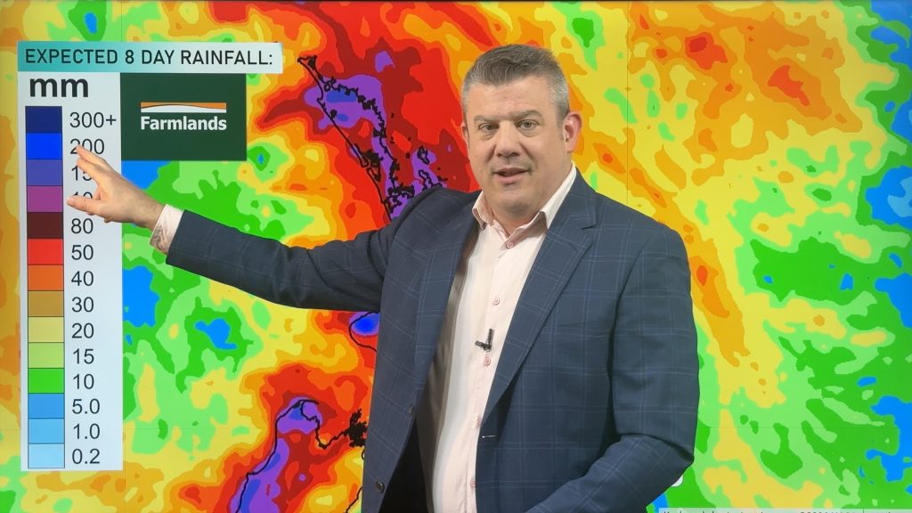
Three low pressure zones look to bring rain into very dry parts of NZ over the coming days and week as spring chaos continues. The shift to low pressure zones balances out several weeks of mainly higher pressure, likely encouraged by El Nino, and shows how NZ’s small location means we can often buck global trends. Rainfall for these areas will be critical as we head towards the drier months of summer.
Many areas may get between 80 and 220mm of rain over the next week in the top half of the North Island and western South Island, although there may be some in the high risk zones that don’t get as much due to our mountains and ranges – and the fact this low is falling apart as it moves in.
Thunderstorms and downpours may be slow moving, may form suddenly, and can stall – all can affect upcoming expected rainfall. Large lows that move in and fall apart are notorious for breaking rainfall forecasts with “hit and miss” downpours hitting some places over and over, while others nearby miss out. But there is a moderate to high risk of thunderstorms and/or heavy downpours today (Friday) and Saturday. Then again next week as the next Tasman Sea low forms.
We track NZ’s weather in detail through to next Friday, including 8 day rainfall maps thanks to Farmlands.
DOWNLOAD THE WEATHERWATCH LIGHTNING TRACKER (FREE & PAID UPGRADES): Read about it here and compare free and paid plans: www.weatherwatch.co.nz/mobile-app
Latest Video
Thunderstorms, heavy rain potential 7 days ahead
Three low pressure zones look to bring rain into very dry parts of NZ over the coming days and week…
Related Articles
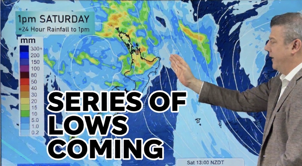
Series of lows to bring rain & downpours to parts of NZ
Low pressure is moving in this weekend, then another low is coming next week, as spring ups and downs continue….
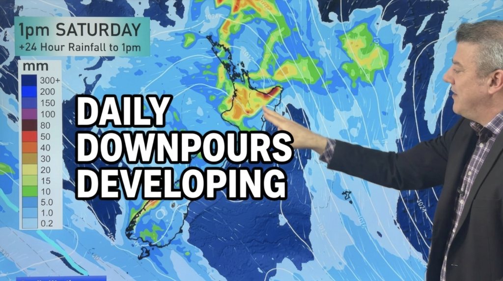
Daily Downpours Developing, Warmer Weather too
Lower pressure in the Tasman Sea is drifting towards the country by Friday and Saturday and it will bring the…
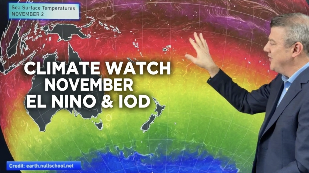
ClimateWatch: NOVEMBER outlook, El Niño & IOD
El Niño is going to peak over NOVEMBER & DECEMBER and now there is a Positive IOD (Indian Ocean Dipole)…