VIDEO: Next 7 days – Heavy rain brings flood risks to NZ’s two main islands
1/02/2022 10:48pm

> From the WeatherWatch archives
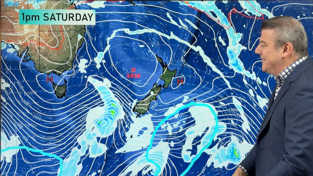
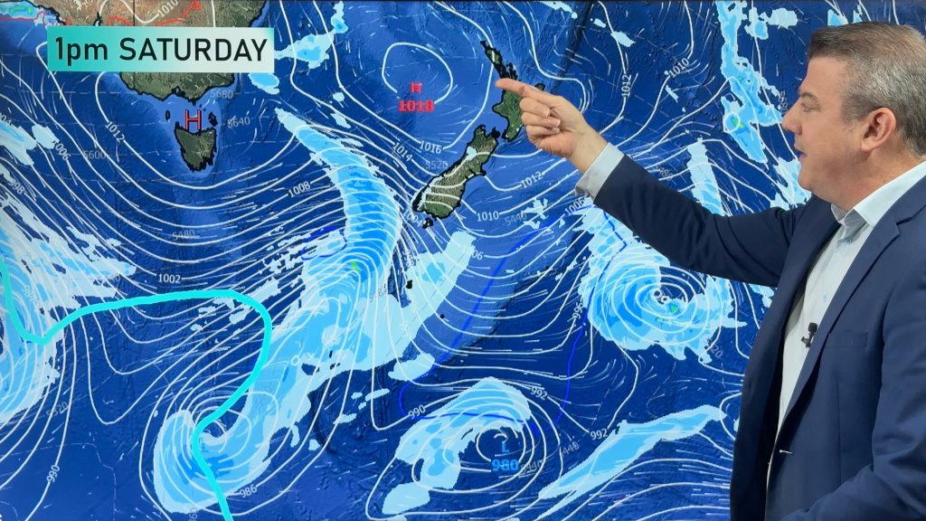
A tropical deluge is on the way for the West Coast with several hundred mm forecast, but the North Island may also get clipped by the same system later this long weekend and into next week.
The South Island is initially most exposed, mainly the West Coast, Nelson and Marlborough but Canterbury may also be affected by heavy rain and spillover rain in the waterways.
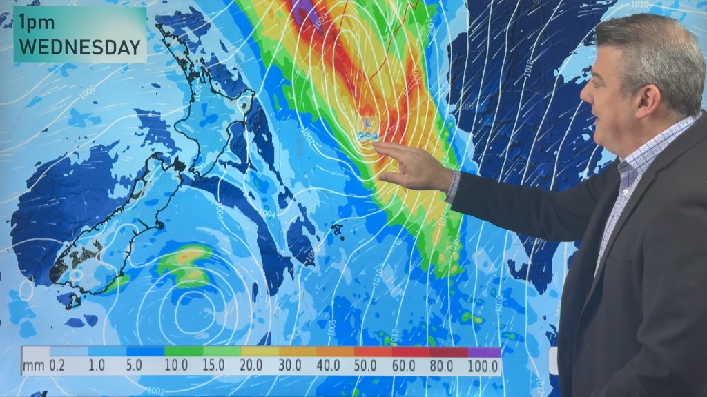
This weekend and next week rain then slides into the North Island with possibly heavy falls and flood potential too.
This is potentially one of the wettest nationwide setups NZ has seen in several months.
We cover the forecast through Waitangi Weekend and to the middle of next week.
Comments
Before you add a new comment, take note this story was published on 1 Feb 2022.


Add new comment
janet on 2/02/2022 4:04am
like forecasts it would be nice to see rain amounts for lower nth island hutt valley to thankyou
Reply
WW Forecast Team on 2/02/2022 4:50am
Thanks Janet!
I have just the link for you. Please click here, figures for Upper Hutt
https://www.ruralweather.co.nz/forecasts/Upper%20Hutt,%20Wellington
Search Lower Hutt if you like also.
Cheers
Aaron
Reply
Andrew on 2/02/2022 1:03am
Good comment about the rarity of this event.
How often do you see strong SE flows from NZ to the entire eastern edge of Oz?
Classic La Nina, even if we’re no longer in one. A great channel of tropical energy flowing down.
Reply
Derek Parkes on 1/02/2022 11:40pm
What does the red line defining the tropics represent?
Reply
WW Forecast Team on 2/02/2022 4:47am
Hi Derek
That red line is a thickness line, it represents 5760. The blue line often coming up from the southern ocean is 5400. Between these lines you’ll actually see dashed grey lines which are intervals (40) between 5400 and 5760. You can read more about thickness charts here:
http://www.theweatherprediction.com/habyhints/148/
Cheers
Aaron
Reply