VIDEO: High pressure for NZ + Cyclone Judy forms
27/02/2023 2:30am

> From the WeatherWatch archives
Edit: 3:30pm NZDT Monday – Cyclone JUDY has now been named, this happened before we recorded – as there was a bit of uncertainty about when it would technically happen (ie today or in the days ahead). The storm being named doesn’t alter the likely tracking.
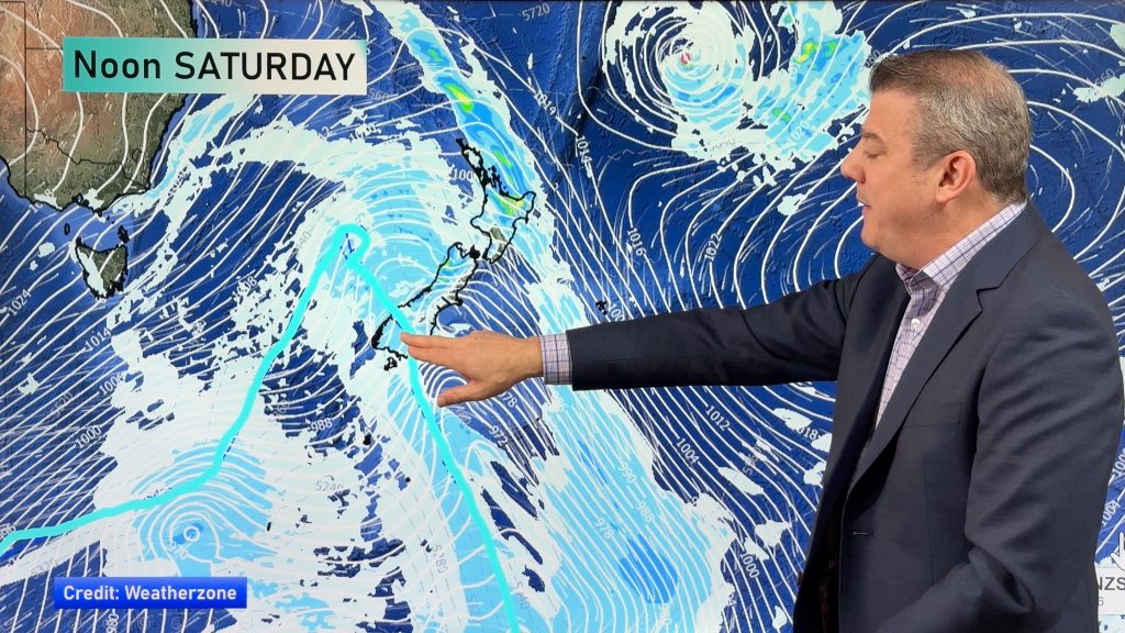
We’re tracking a big block of high pressure in the NZ area this week but some rain lingers around the eastern North Island where a rain warning is in force for Monday. (Gisborne area). Thunderstorms and downpours will also develop today over the North Island. We keep an eye on the tropics – with a new low forming there it’s one to keep an eye on, but for now modelling shows it tracking near NZ but mainly offshore. It could still change, so check back daily for tracking.
As of 3:30pm the Fiji Met Service had named it – in the video there was uncertainty about when it would be named. It’s been named earlier than expected.
Comments
Before you add a new comment, take note this story was published on 27 Feb 2023.


Add new comment