
Southerly change, T-Storms & Frost risks
15/10/2026 4:13pm
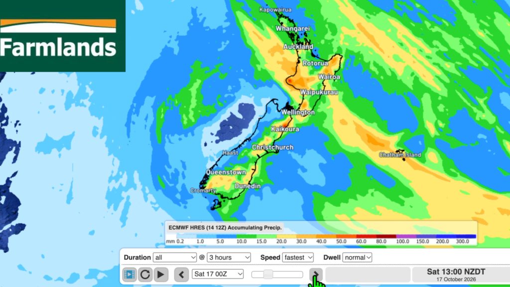
Low pressure continues to cross NZ today, potentially bringing a few thunderstorms with it overnight and into Friday for the North Island, then the southerly flows eases – increasing the risk of frosts as far north as Waikato and Bay of Plenty.
A powerful high pressure zone is trying to track behind it – but may remain centred over the Tasman Sea going into next week.
Once we get through the wet weather risks of today and Friday, showers will become more isolated this weekend but still the chance of a few downpours. Thanks to Farmlands we also track the upcoming 7 day rainfall.
POTENTIAL TROPICAL CYCLONE?
A tropical cyclone may be forming north of the Cook Islands, with the storm possibly tracking between Rarotonga and Tahiti. We have a special video update about this here.
Latest Video
Southerly change, T-Storms & Frost risks
Low pressure continues to cross NZ today, potentially bringing a few thunderstorms with it overnight and into Friday for the…
Related Articles
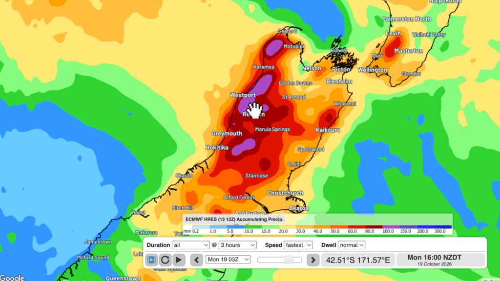
Cold southerly about to blow through
A wintry change is moving into NZ, although still warm nor’westers ahead of it today in many regions. Over the…
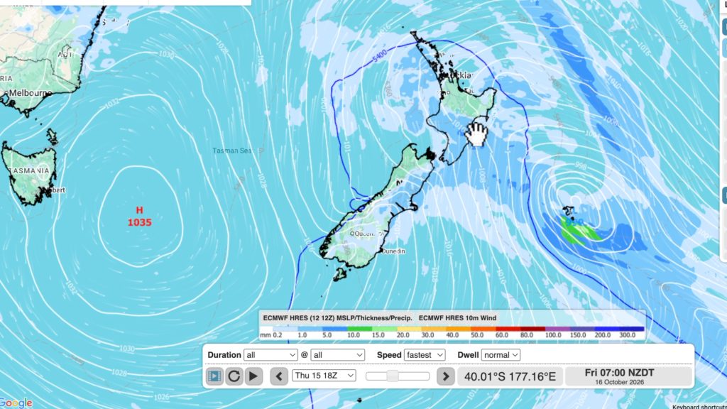
Winter snap, strong winds, downpours, alpine snow
It’s still warm in a number of places but a colder change is coming nationwide by late week with a…
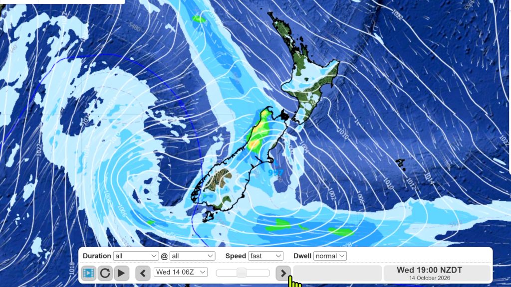
Hotter, but Wintry Snap coming late week
Temperatures will soar into the mid to late 20s early week but single digits for some by late week as…

