
Cold southerly about to blow through
14/10/2026 1:12pm
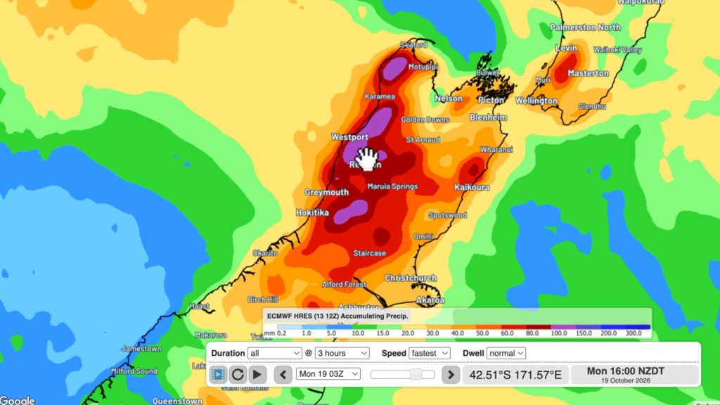
A wintry change is moving into NZ, although still warm nor’westers ahead of it today in many regions.
Over the next few days low pressure and southerlies move through, with windy weather in some regions (especially the east of the country up to East Cape, and around central NZ/Cook Strait area).
Wet weather may be heavy in some western parts of both islands, with a few thunderstorms possible over the next couple of days off the Tasman Sea.
This week high pressure is large to the west of the country, continuing the southerly – and while most places dry out, the eastern NI may still have some showers until Sunday night.
Monday kicks off with high pressure.
Latest Video
Cold southerly about to blow through
A wintry change is moving into NZ, although still warm nor’westers ahead of it today in many regions. Over the…
Related Articles
Winter snap, strong winds, downpours, alpine snow
It’s still warm in a number of places but a colder change is coming nationwide by late week with a…
Hotter, but Wintry Snap coming late week
Temperatures will soar into the mid to late 20s early week but single digits for some by late week as…
NZ: Instability to produce some wet weekend weather, cold change next week
Afternoon downpours will expand on Saturday with possible isolated thunderstorms as atmospheric instability (due to lower pressure zones east and…

