
Snow, rain showers & cold polar southerlies set to return
27/07/2026 11:52pm
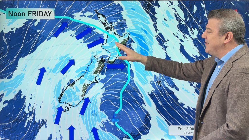
Friday will be a wintry day across NZ as the next cold front arrives, bringing snow to lower levels of the South Island and across the mountains, ranges and also Central Plateau of the North Island. Check your local forecast at WeatherWatch.co.nz, in our app or at RuralWeather.co.nz to see if the snow icon is showing where you live/are travelling to. Snow may go lower than it did this past weekend – although amounts and exact details are still being worked out.
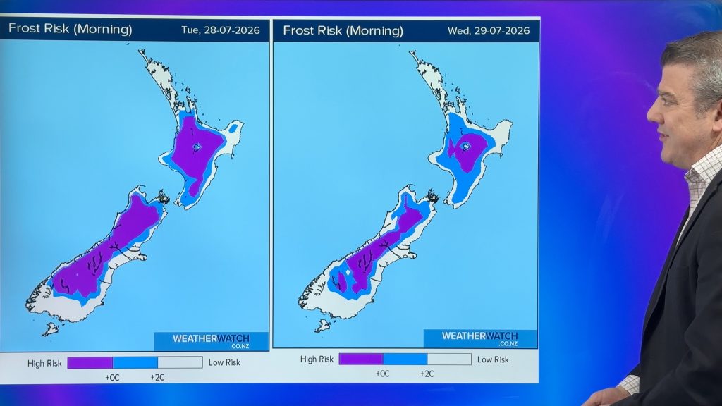
Before this arrives, high pressures crosses the country meaning more frosts as far north as Auckland and Northland overnight tonight/Wednesday morning. By Thursday nor’west winds will be blowing nationwide and should lift temperatures a bit.
The weekend looks cold nationwide – although the wet weather risks have backed off in a number of regions. This is a bit of a change from yesterday’s video update – which means we’ll need another day or so to confirm just what is happening this weekend, but for now there are showers and colder winds – and some large dry sunny areas in the mix for both main islands.
We have your NZ forecast through to Monday of next week as a classic winter weather pattern kicks in.
View our Tuesday Australia weather video here.
Latest Video
Snow, rain showers & cold polar southerlies set to return
Friday will be a wintry day across NZ as the next cold front arrives, bringing snow to lower levels of…
Related Articles
Frosts, late week rain & another cold weekend coming
High pressure will cross NZ over the next few days meaning more cold nights/mornings with frosts, but a nor’wester will…
NZ: Cold & windy, then calm & frosty
Downpours, some squally with the chance of thunderstorms and even small tornadoes are possible for parts of NZ over Friday…
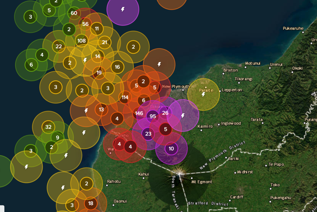
WeatherWatch App launches real-time local lightning tracker
A bolt out of the blue! WeatherWatch has launched a live, real-time lightning tracker, enabling Kiwis to gain access to data provided by the…

