
More severe gales & another cold change coming, but warm westerlies in the mix too
27/10/2026 12:56pm
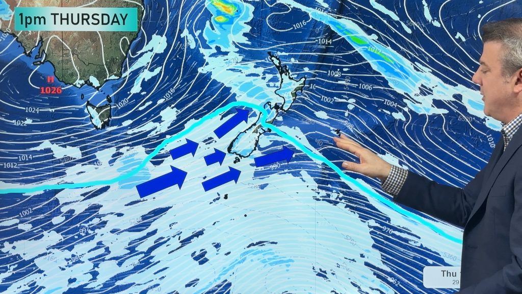
A cold front is today crossing the North Island with patchy rain, drizzle patches, downpours and dry spells. The front will clear the island later today as a colder change moves up the South Island.
On Wednesday things start to warm back up again for the South Island as westerlies return, with severe gales possible in both main islands for a time going into Thursday – ahead of the next cold change on Thursday and Friday.
This weekend high pressure rolls over the country bringing warmer, sub-tropical, nor’westers as we end the weekend and kick off next week.
We have North Island and South Island rainfall maps for the next 7 days to make sense of it all.
Latest Video
More severe gales & another cold change coming, but warm westerlies in the mix too
A cold front is today crossing the North Island with patchy rain, drizzle patches, downpours and dry spells. The front…
Related Articles
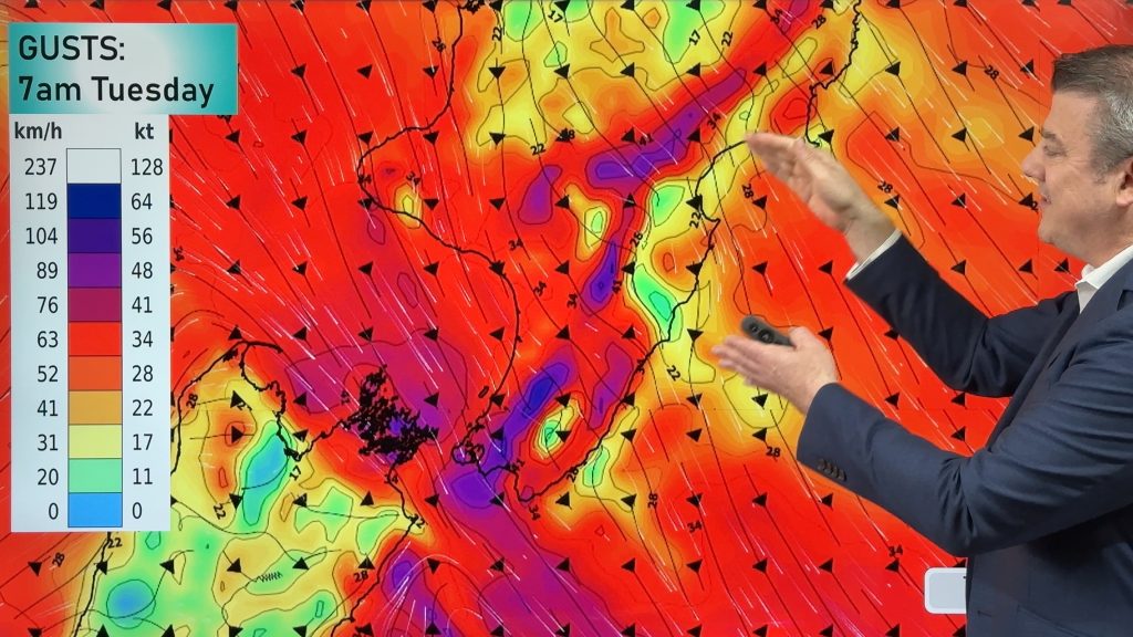
Gales, rain, cold change – large dry areas too
In true spring fashion we have hot days and cold days this week as a cold front moves up the…
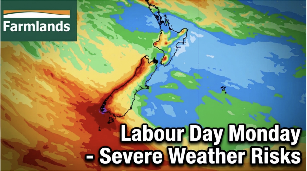
Labour Day severe weather risks – but large dry areas this weekend
High pressure shapes our weather this weekend but by Monday low pressure will affect the south bringing severe nor-west gales…
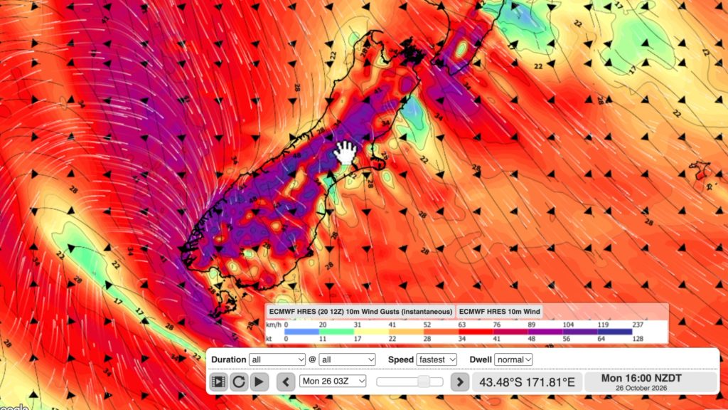
NZ: Long Weekend update, Labour Day severe weather risks
A very large and slow moving high pressure zone will slip off NZ to the east of the North Island…