
Gales, rain, cold change – large dry areas too
26/10/2026 12:03pm
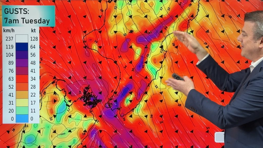
In true spring fashion we have hot days and cold days this week as a cold front moves up the nation today and tomorrow. Some places in the east today will be in the upper 20s or even lower 30s, but a colder southerly will reset some South Island highs into the single digits or early double digits.
Cold air returns again on Thursday for the South Island as the next shot of southerly air comes in – but high pressure offshore will again try to move in. This weekend sees a return to warmer/hotter sub-tropical nor’westers.
We track rainfall in each main islands, severe gale potential today and tomorrow morning, frost risk and the big picture driving NZ’s weather for October’s final week and the first day of November.
Big thank you to Farmlands for supporting our video today.
A colder change is spreading into the south-east of the nation but more thunderstorms and downpours can be expected this week and coming weekend as low pressure again dominates many states and territories.
We track the current southerly change dropping temperatures especially in Vic, Tas, the A.C.T and NSW and show how that has cleared out a number of thunderstorms and downpours – pushing them further up into Qld.
In the days head Qld and the NT are most exposed to significant downpours and more hit and miss severe thunderstorms – but this weekend low pressure drifts from WA to NSW and produces yet another round. Like thunderstorms we saw yesterday this might track over a number of places, for some it may be short and sharp – for others the slow nature could lead to flooding, or flash flooding. Keep up to date with the Bureau of Meteorology for all official warnings
Latest Video
Gales, rain, cold change – large dry areas too
In true spring fashion we have hot days and cold days this week as a cold front moves up the…
Related Articles
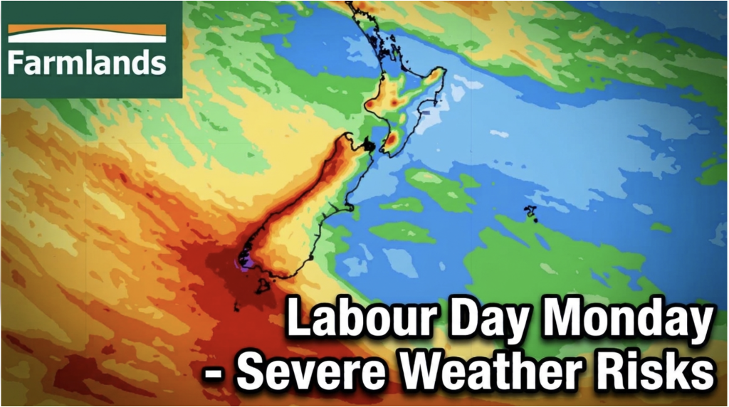
Labour Day severe weather risks – but large dry areas this weekend
High pressure shapes our weather this weekend but by Monday low pressure will affect the south bringing severe nor-west gales…
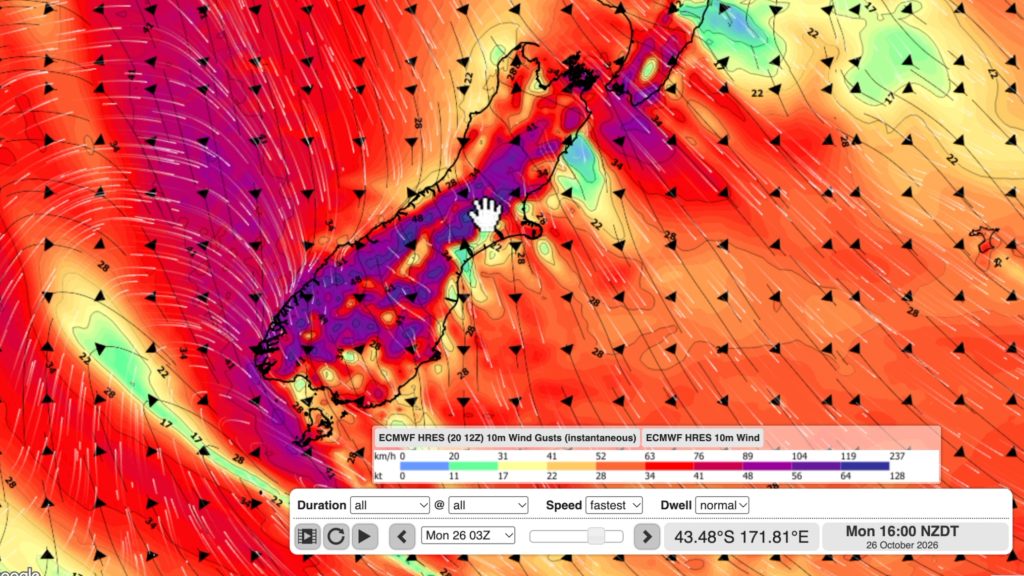
NZ: Long Weekend update, Labour Day severe weather risks
A very large and slow moving high pressure zone will slip off NZ to the east of the North Island…
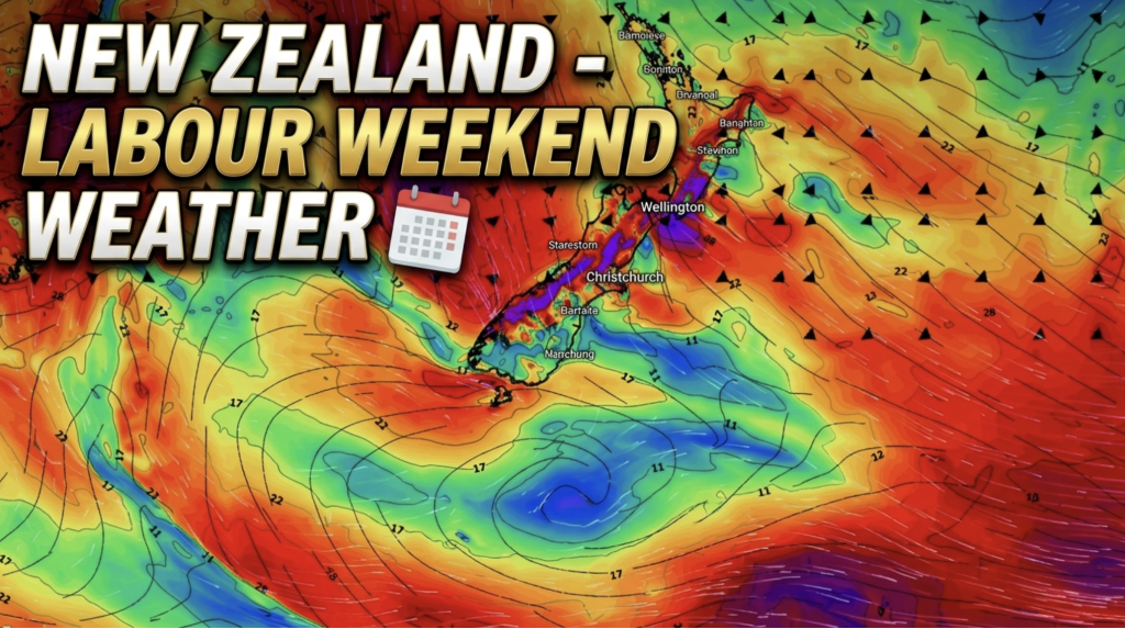
Weather this week & Labour Weekend
High pressure dominates NZ’s weather this week, but slides off much of the country by Labour Day Monday. Despite the…