NZ 7 Day: Incoming cold front, but warmer air next week
13/11/2025 11:29pm
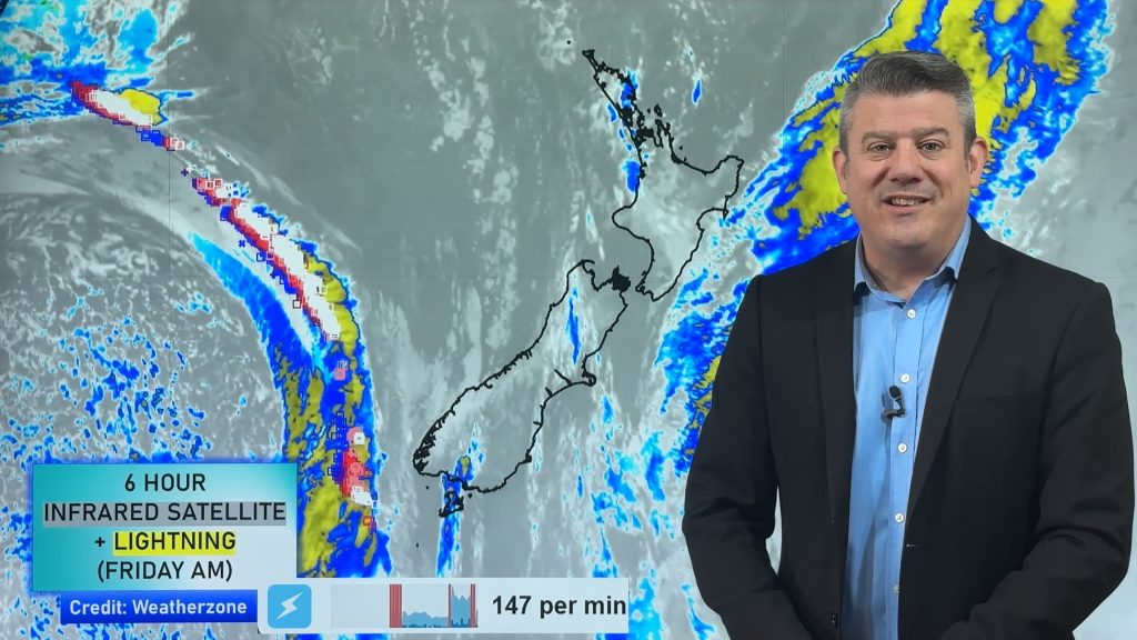
A cold front is moving into the South Island today and tonight and will cover the island by early Saturday dropping temperatures and bringing West Coast rain and a few showers elsewhere. This front will weaken further on Saturday as it moves into the western and upper North Island, but some isolated heavy falls are possible for a brief time as it moves in.
Sunday morning will be colder/cooler in a number of places too, but by Sunday afternoon temperatures lift up – with subtropical airflows in the mix next week, along with nor’westers too, helping drive up temperatures again.
Windy weather also kicks back in again around Tuesday and Wednesday with possible severe gales (like around inland Canterbury) for a time.
A few thunderstorms and showers are expected next week – with another potential cool down for some places by the end of next week.
We have your 7 day rainfall map and latest soil moisture maps too.
Latest Video

Wintry weather coming: Snow, rain, wind & sunshine
A cold front is moving into NZ from Friday to Sunday with low pressure developing west of NZ and then…
Related Articles

Polar airflow + northern low = pockets of heavy rain & snow
A colder change is coming – and so too is a large low which will develop and grow over northern…
Wintry weather coming: Snow, rain, wind & sunshine
A cold front is moving into NZ from Friday to Sunday with low pressure developing west of NZ and then…

ClimateWatch: JULY outlook & what El Niño means for NZ
El Niño is officially here and still getting stronger in the months ahead, but it’s harder to notice its effects…

