
Mountain of high pressure to bring windy westerlies
17/08/2026 11:55am
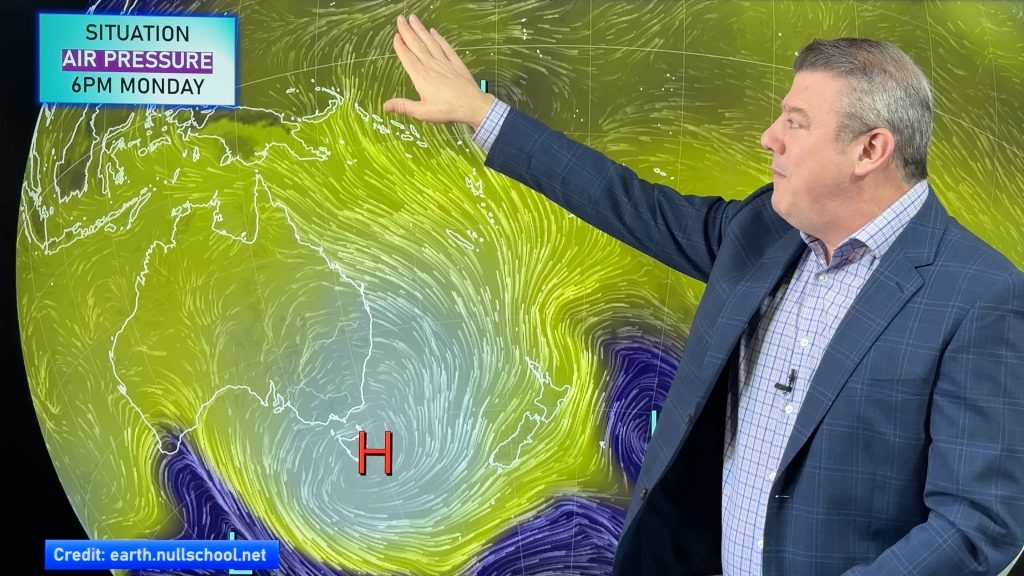
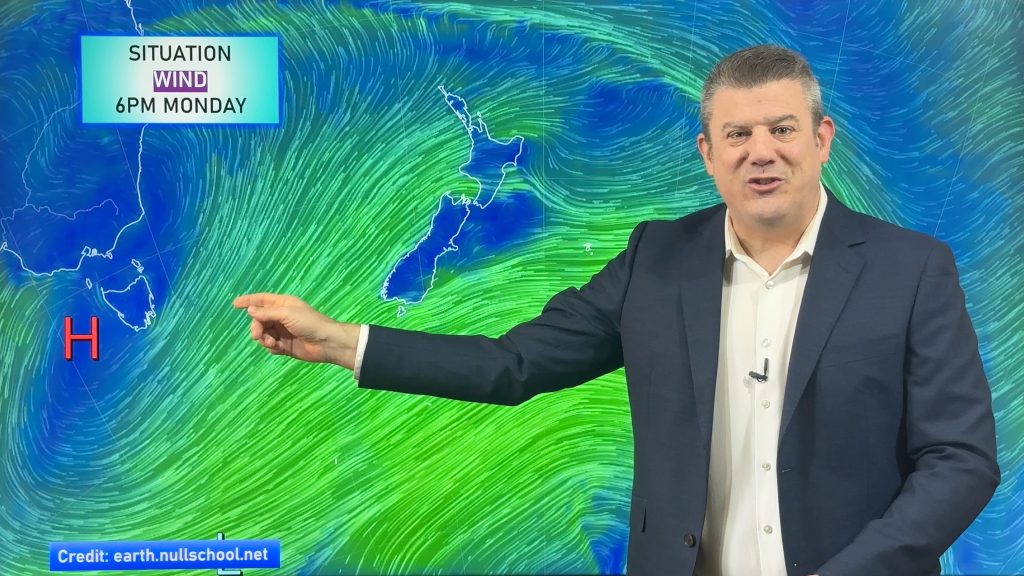
The polar southerly flow covers NZ to kick off this week but a huge high pressure zone leaving Tasmania will end up over northern NZ by later this week and that placement, along with the size and shape of the high, will encourage a windier westerly flow late week and going into the weekend over most of the country.
For some places, like eastern NZ, that means a lift in temperatures this week and drier skies. Some regions may feel spring-like late this week or this coming weekend. We’re not finished with winter though, there are still polar airflows in the longer range maps.
Frosts return for both main islands this week, although not everyone will have them due to the wind still blowing here and there.
We have your NZ forecast out to Sunday as we track the incoming high and how it will alter our weather pattern.
Latest Video
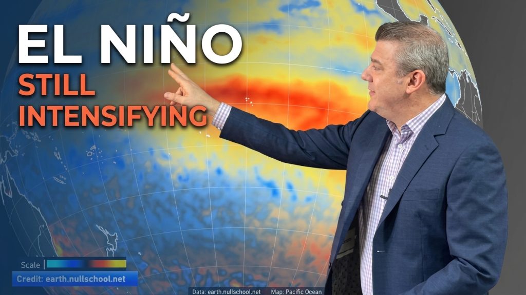
ClimateWatch: El Niño strengthens, OCTOBER update
El Niño continues to gain more power in the tropical Pacific and this is now affecting the weather pattern around…
Related Articles
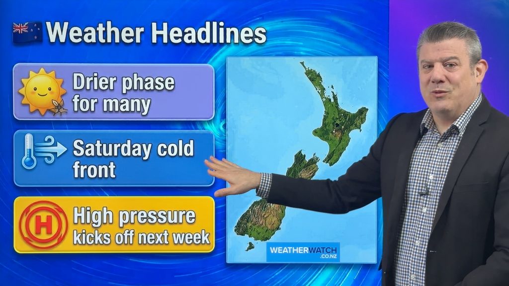
Cold front on Saturday, but high pressure growing
Another cold front comes back into NZ on Friday night and across Saturday – but should be gone by Sunday…
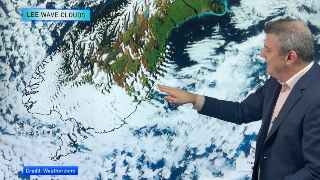
Tracking the showers next 7 days
High pressure is partially going to cover NZ this week, but a stormy Southern Ocean means we’re still going to…
High pressure flirts with NZ this week
Monday is another windy and colder day for a number of regions, but high pressure will try this week to…

