
More northern rain then nationwide polar change by Sun/Mon
13/08/2026 12:20pm
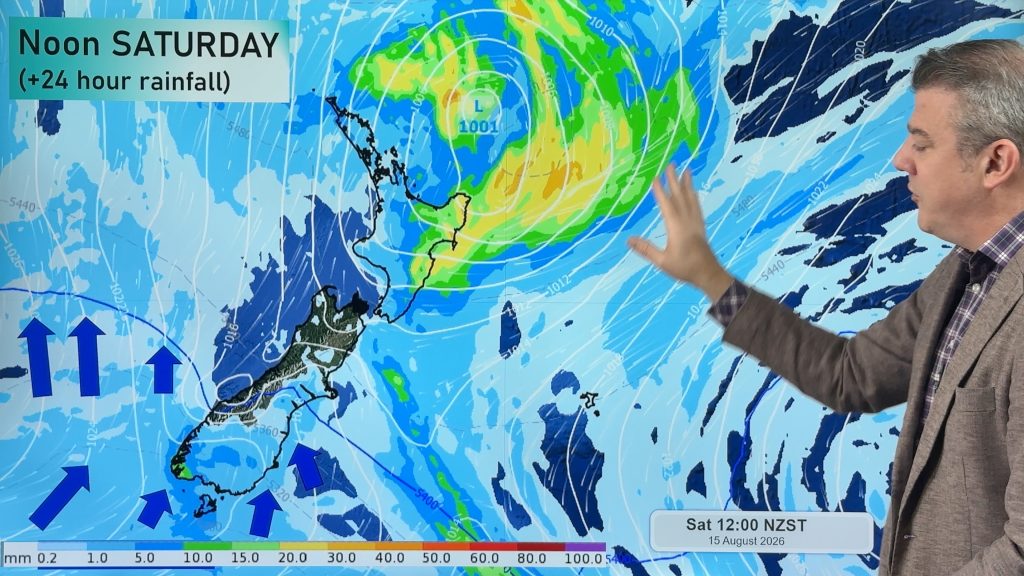
We have two things going on over the next few days ahead. 1) A large but fairly weak low will develop and track eastwards just north of NZ. 2) A polar southerly moving up the country over the weekend and into early next week.
The low will produce more showers and some pockets of heavy rain as it moves over the upper North Island, with the bulk of the rain falling from East Cape to Hawke’s Bay based on today’s maps (and the modelling over the days prior). The low will strengthen as it moves off the eastern side of the North Island on Monday.
(Also – today there is heavy rain in Bay of Plenty, slowly tracking towards East Cape).
Meanwhile, this weekend, a polar southerly (ahead of the next big high pressure zone) moves up the South Island over Saturday, and then the North Island for Sunday and Monday – dropping temperatures and bringing snow back to the mountains and hills for a brief time, followed by frosts. Rainfall and snowfall totals won’t be very great for most South Island areas with this southerly, but as it connects with the departing northern low (also producing a southerly) it will mean a burst of windy weather on Sunday for the North Island and more showers in the south and east of the North Island (and dries out further in the South Island).
Next week high pressure looks to slowly move our way with lighter winds and drier skies.
Latest Video
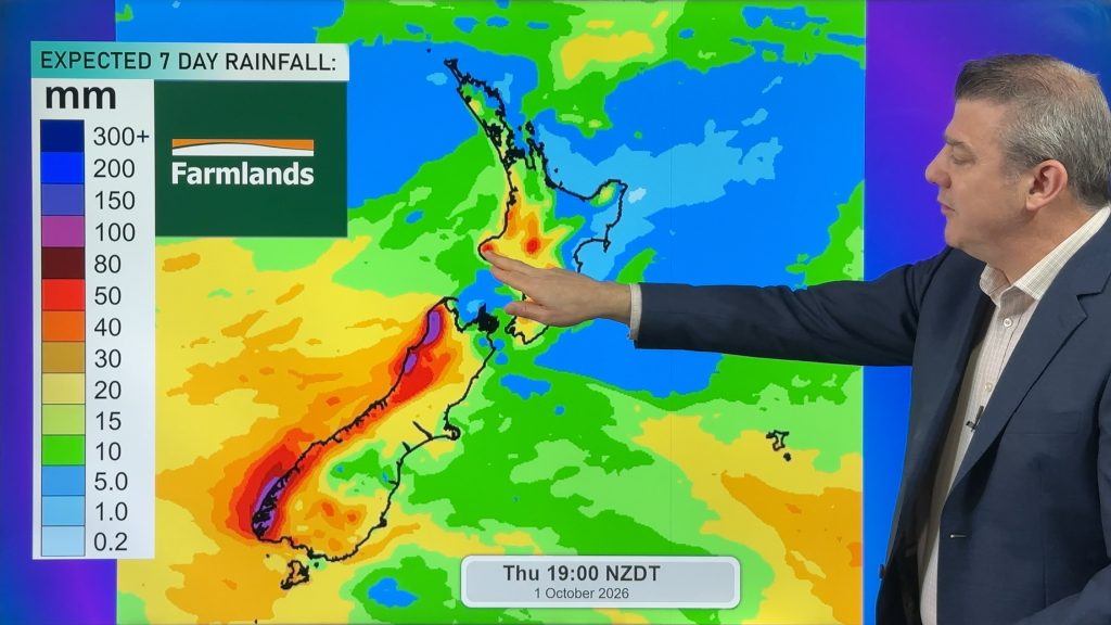
Snow, gales, frosts and sunshine as spring kicks in
Temperatures will lift up on Saturday ahead of Sunday’s polar change, with Sunday seeing the potential for snow down to…
Related Articles
Snow, gales, frosts and sunshine as spring kicks in
Temperatures will lift up on Saturday ahead of Sunday’s polar change, with Sunday seeing the potential for snow down to…
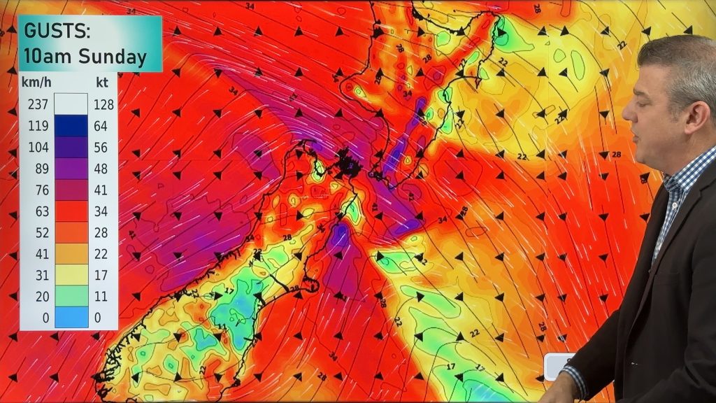
Polar snap Sunday, high pressure next week finally
Cold air will linger over NZ for another 24 to 36 hours, bringing more frosts and low temperatures tonight, but…

Meteors – Your Eyewitness Reports!
WeatherWatch.co.nz receives meteor reports from all over New Zealand and the globe, 24/7/365. **CASUAL COMMENTS**If you’ve seen something in the…

