High pressure likely to be replaced by low pressure this weekend
8/02/2026 11:14pm
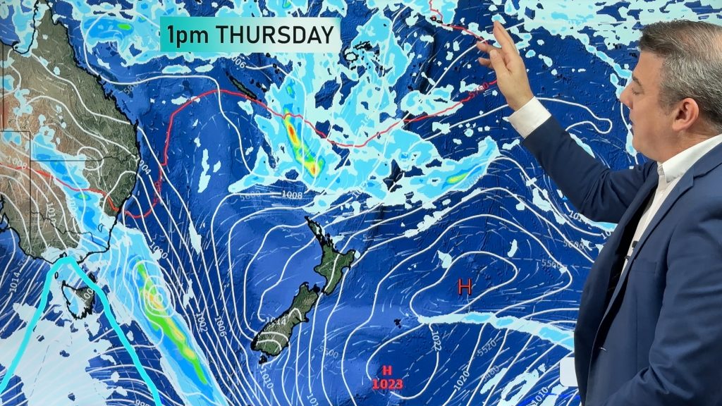
Many places are dry as we go into this week, although a few showers and afternoon downpours are possible. But high pressure shifts off east of NZ this week, allowing for a more humid subtropical north-easterly flow to form over the top of the country, while west to north-west winds develop over parts of the South Island.
Low pressure may then grow over the country this Friday and coming weekend bringing some northern rain, then into the weekend South Island rain with showers and isolated thunderstorms/dowpours for the North Island.
We’re also monitoring the Coral Sea area where a tropical low may form into a tropical storm one week from now – it’s still not locked in but has been showing up in long range computer models for the past week or so. We’ll have more details in the days ahead on that – for now it poses no threat to NZ.
We also have a 7 day rainfall map to make sense of the possible rainfall expected over NZ between now and Sunday… this may still change due to the messy nature of the low pressure zone developing this weekend, so check in with our daily updates for the latest twists and turns.
Latest Video

NZ: 8 Day outlook as gales & rain ease, high pressure builds
Damaging wind gusts and heavy rain will continue to affect some parts of the North Island and brushing Marlborough today…
Related Articles
NZ: 8 Day outlook as gales & rain ease, high pressure builds
Damaging wind gusts and heavy rain will continue to affect some parts of the North Island and brushing Marlborough today…

Pockets of hit & miss heavy rain, snow moves northwards
Low pressure continues to slowly move across the upper North Island and for some that will bring the sun out,…

Slow go for northern low & southern cold
For the next few days low pressure will crawl over the upper North Island, driving in rain as far south…

