
Gale westerlies this weekend, low to monitor next week
20/08/2026 12:41pm
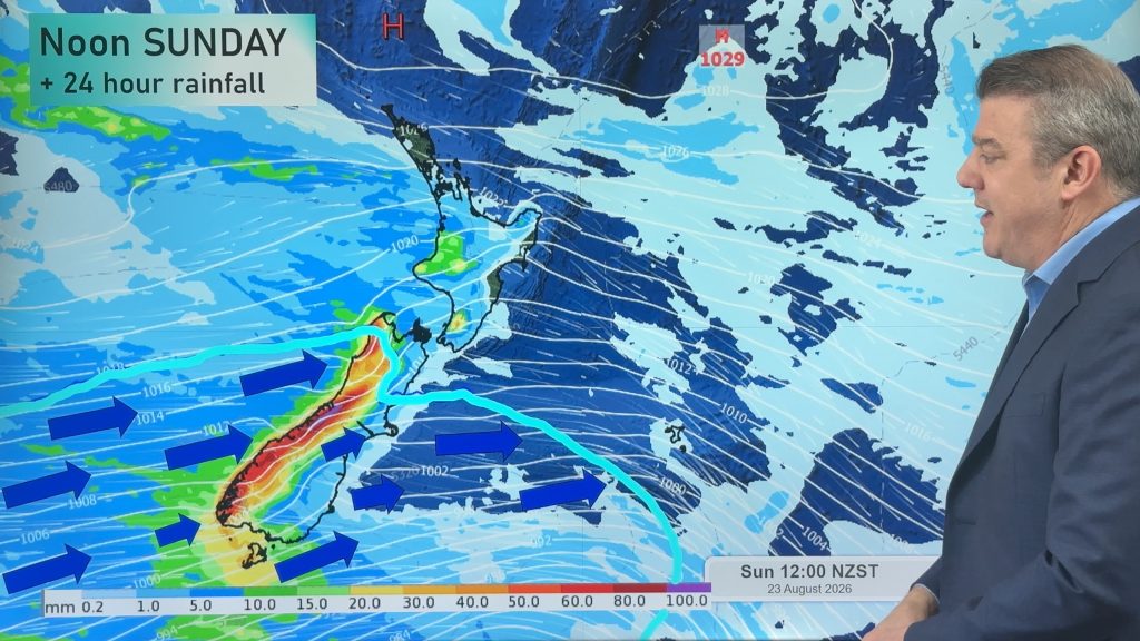
We have a big change in airflow with the freezing southerlies of the past couple of weeks finally fading and a windier westerly kicking in this weekend, boosting temperatures for a time (especially in the east of both islands) ahead of a colder Sunday for the South Island.
Winds may reach severe gale over the South Island and into the southern and eastern North Island overnight Saturday and into Sunday. Westerlies continue on into next week too, especially for the South Island and around Cook Strait.
Rain will be heavy on the West Coast with the chance of thunderstorms, and that wet weather tapers off the further north you go. The western North Island also has some wet weather, but again the further north you go the more limited it will be – and eastern parts of both main islands look dry or or mainly dry.
High pressure will be parked over, or near, Northland this weekend and into next week – meaning wet weather and windy weather will be limited in the upper North Island.
Later next week a low exiting Australia will likely bring our next burst of severe weather in the form of heavy rain.
Latest Video
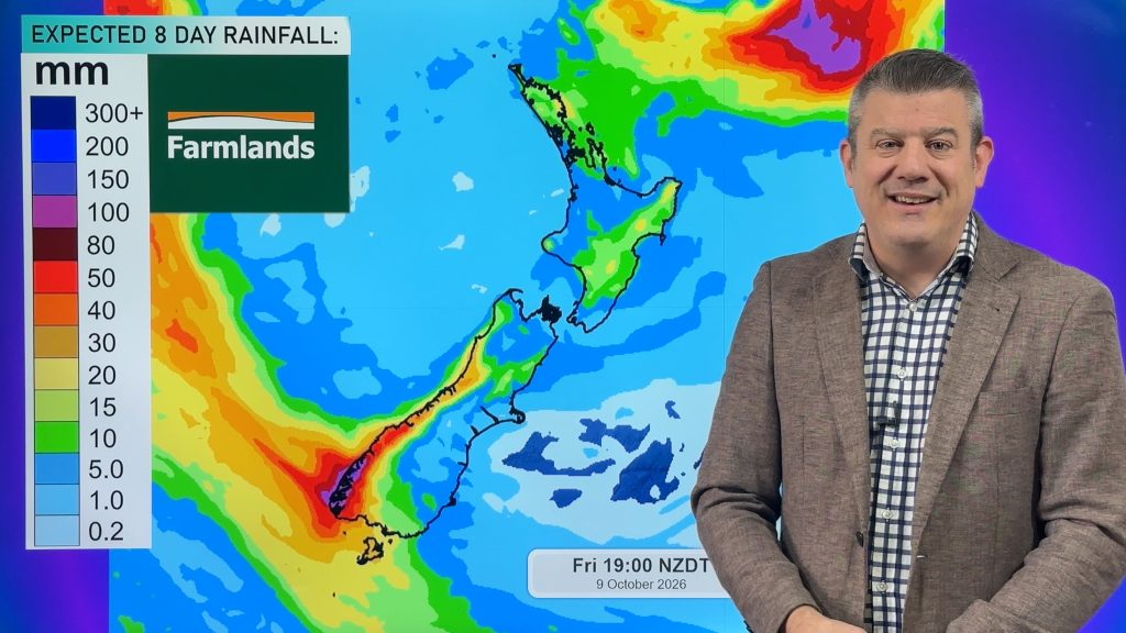
Cold front this weekend, high pressure for next week
A cold front is moving into the South Island tonight and then moves up the country over Saturday and Sunday,…
Related Articles
Cold front this weekend, high pressure for next week
A cold front is moving into the South Island tonight and then moves up the country over Saturday and Sunday,…
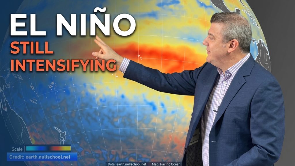
ClimateWatch: El Niño strengthens, OCTOBER update
El Niño continues to gain more power in the tropical Pacific and this is now affecting the weather pattern around…
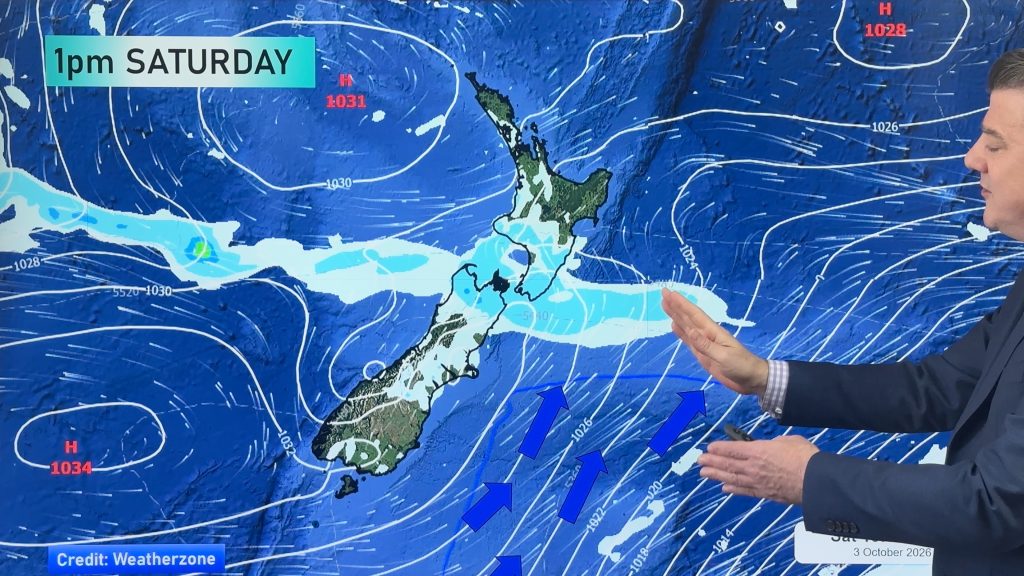
Next cold front coming, then high pressure expands
Things are warming up across NZ, but a cold front on Friday night and over Saturday will spread up NZ,…

