
Spring weather pattern on horizon – but there’s a catch
19/08/2026 11:19am
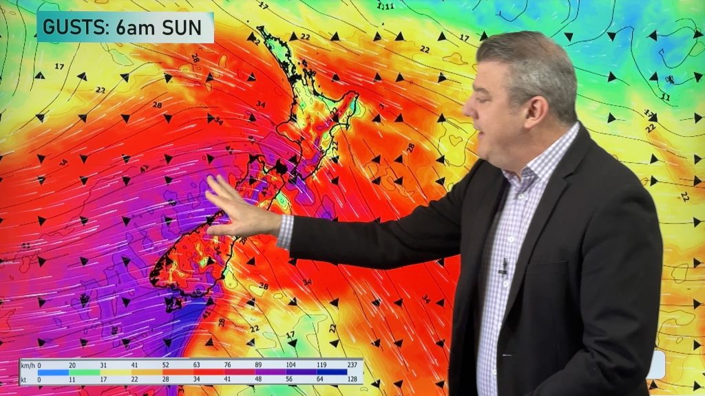
We’re finally seeing a spring weather pattern emerging, which is defined by an uptick in westerly winds, stronger winds, and brief lifts in temperatures. But there’s a catch. As you know we’ve had a “classic winter” these past several weeks, bringing normal to below normal temperatures and the polar boundary frequently launching itself north of the country – dredging up colder southerlies. We see no immediate end in sight to this, meaning as we drift closer to a spring weather pattern it may be a “classic spring” with wintry snaps continuing. This hasn’t always been the case in spring over the past several years, especially in northern NZ.
The main change coming up is a return to windy westerlies, which kick in this weekend with the chance of severe/damaging gales for a time over parts of New Zealand.
Next week remains unsettled, with a low potentially exiting Australia and heading our way.
We have a 7 day rainfall map and your NZ forecast through to Tuesday of next week.
Winter ends officially on the meteorological calendar on August 31st, but if you go by the astronomical date there’s still another month to go, ending on September 23rd. In NZ, from a weather point of view, typically a spring-like pattern arrives in late August and early September – but over the past decade we’ve announced spring weather arriving as early as the last week of July. While the dates for our seasons never change, the dates for our weather pattern changes do.
Latest Video
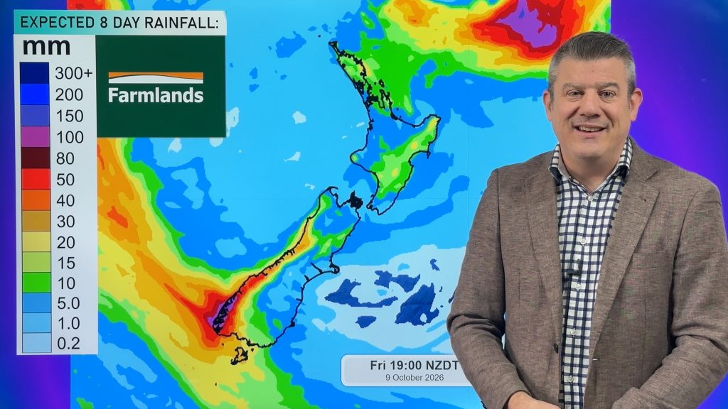
Cold front this weekend, high pressure for next week
A cold front is moving into the South Island tonight and then moves up the country over Saturday and Sunday,…
Related Articles
Cold front this weekend, high pressure for next week
A cold front is moving into the South Island tonight and then moves up the country over Saturday and Sunday,…
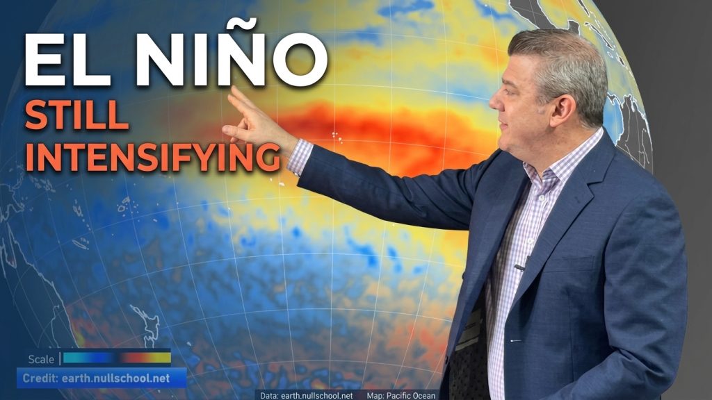
ClimateWatch: El Niño strengthens, OCTOBER update
El Niño continues to gain more power in the tropical Pacific and this is now affecting the weather pattern around…
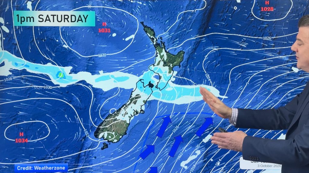
Next cold front coming, then high pressure expands
Things are warming up across NZ, but a cold front on Friday night and over Saturday will spread up NZ,…

