
ClimateWatch: El Niño strengthens, OCTOBER update
1/10/2026 6:22pm
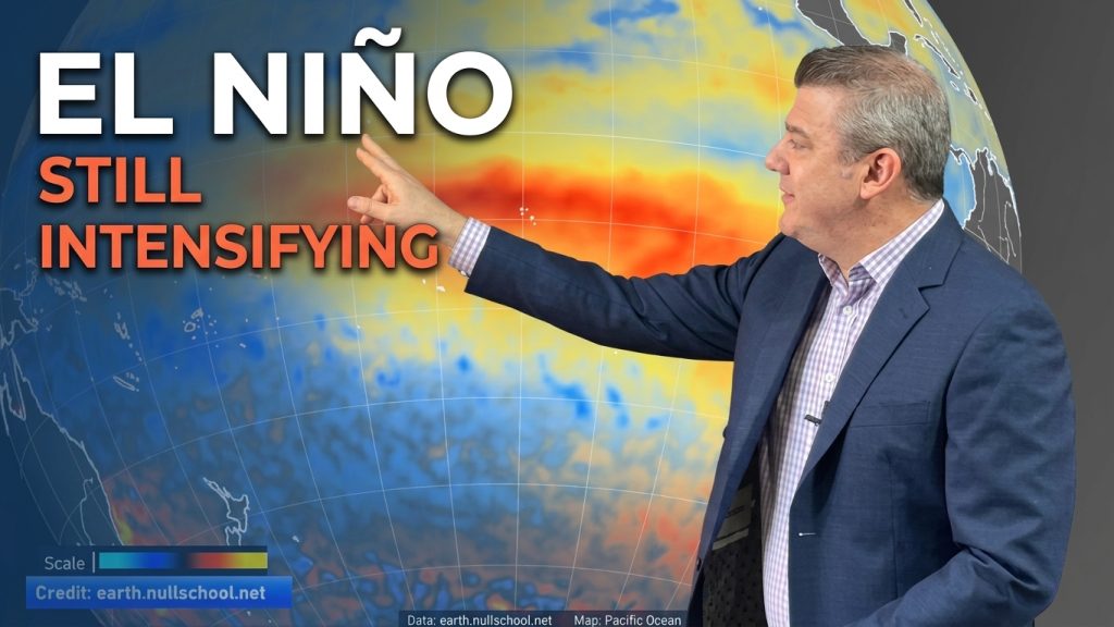
El Niño continues to gain more power in the tropical Pacific and this is now affecting the weather pattern around New Zealand and some parts of Australia too. We have the latest on El Niño and what we can expect for the rest of 2026 and going into 2027 – and how this affects Australia, New Zealand and the South Pacific island nations.
Generally speaking we have larger dry areas moving into NZ and Australia, but still some places are getting heavy rain – with the odd low pressure system making an appearance. But the dry weather is expanding and the Southern Ocean remains stormy, flicking up cold fronts and spring-like (sometimes briefly wintry) changes from week to week.
The main concern with El Niño in our part of the world is usually how fast we can go from wet, normal or already dry – to suddenly extremely dry, increasing the chances of drought, forest/scrub fires, and water shortages this summer.
But El Niño only affects part of our weather pattern, so we’re monitoring what’s happening over the Southern Ocean and around Australia too.
The next Tropical Cyclone season starts one month from now on November 1st. Currently the zone north of NZ that usually produces them has colder than average waters. While that doesn’t stop tropical cyclones from forming, or becoming severe, it can dampen their formation. We’ll be looking at that in our update next month.
Latest Video
ClimateWatch: El Niño strengthens, OCTOBER update
El Niño continues to gain more power in the tropical Pacific and this is now affecting the weather pattern around…
Related Articles
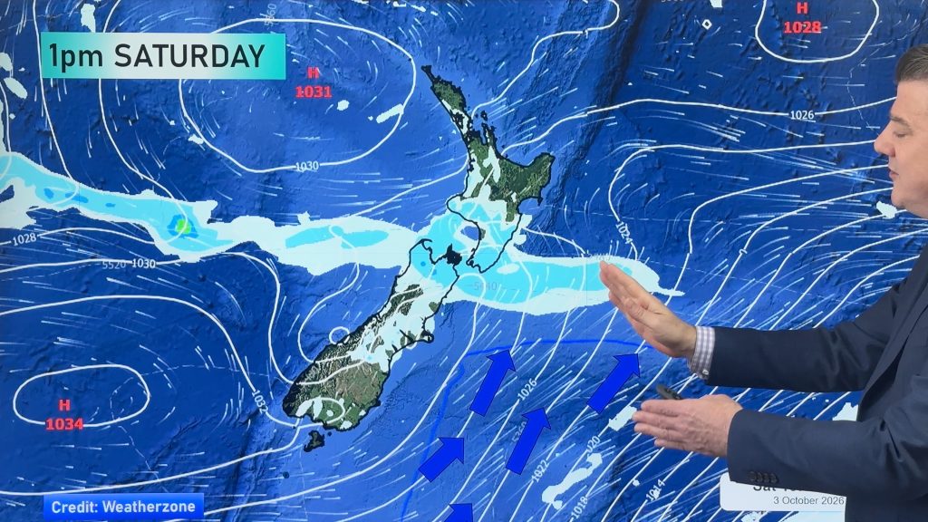
Next cold front coming, then high pressure expands
Things are warming up across NZ, but a cold front on Friday night and over Saturday will spread up NZ,…
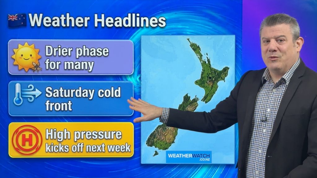
Cold front on Saturday, but high pressure growing
Another cold front comes back into NZ on Friday night and across Saturday – but should be gone by Sunday…
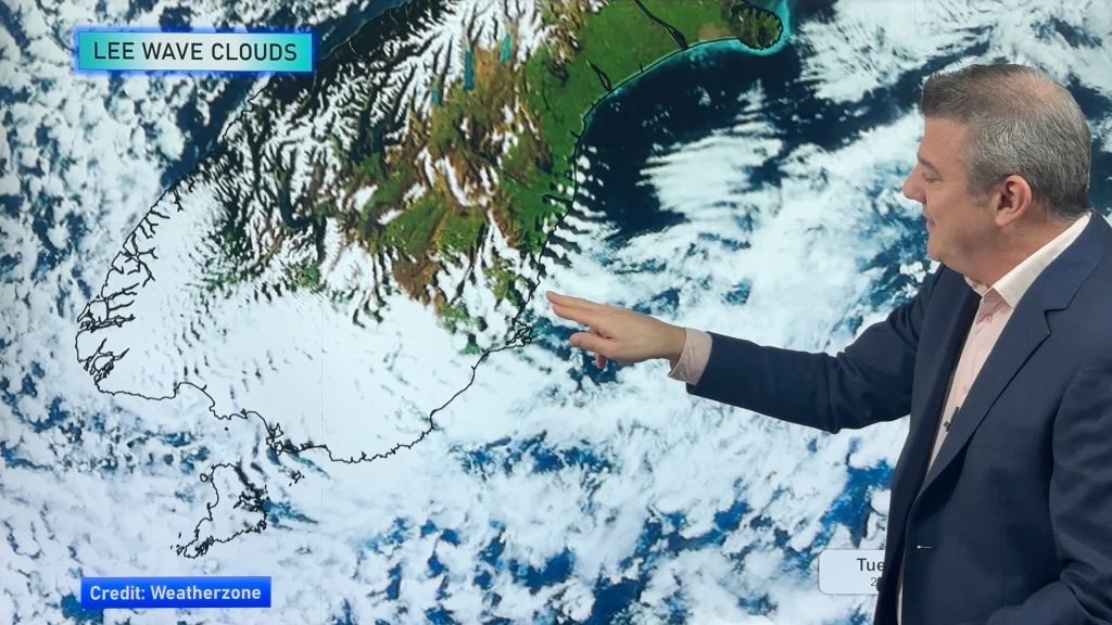
Tracking the showers next 7 days
High pressure is partially going to cover NZ this week, but a stormy Southern Ocean means we’re still going to…

