
Large dry spells, but another low possible next week
12/11/2026 12:07pm
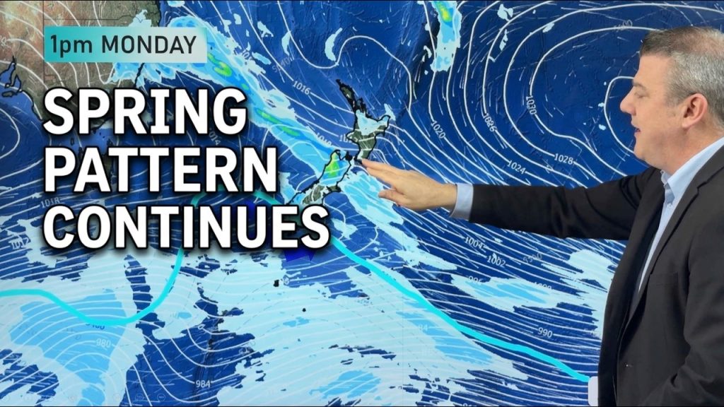
High pressure is ticking up although showers remain this week and into the weekend in both main islands as varying wind flows help to produce localised showers.
Windy weather may also move through from the west and the south for a time, before the nor’west flow returns later this weekend.
Next week there is more high pressure – but also another low in the Tasman Sea – the third large one this month already. While this low may generate some further rain or showers for northern NZ, it’s unclear how much with the low quite a long way northwards and the next big high (with a cooler southerly) moving in towards NZ from Tasmania.
We also have NI & SI y day rainfall maps (thanks for Farmlands) to make sense of it all.
PROGRAMMING NOTE:
– Due to a scheduled power outage in our suburb on Friday we have no videos tomorrow – back again on Monday. (Good timing with the quieter weather at least!). Apologies for any inconvenience.
Latest Video
Large dry spells, but another low possible next week
High pressure is ticking up although showers remain this week and into the weekend in both main islands as varying…
Related Articles
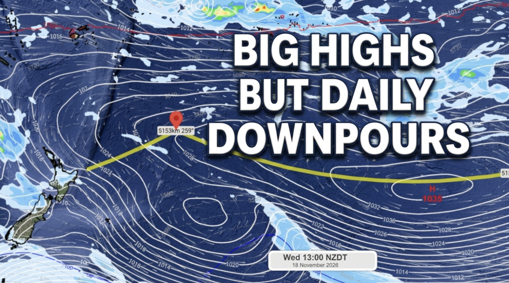
Daily downpours over NZ but high pressure (briefly) coming
Winds turn westerly today as low pressure from the Tasman Sea moves into the lower SI and brings a westerly…
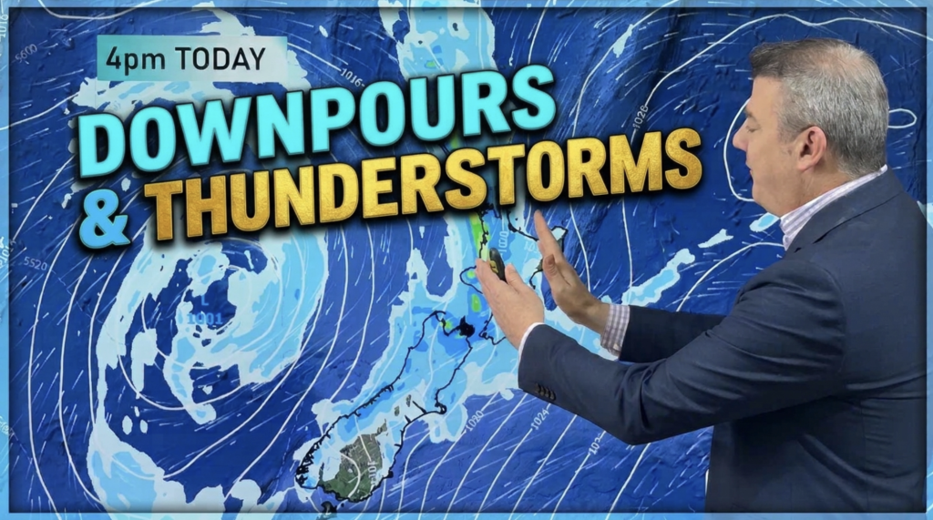
Downpours, thunderstorms and a return to westerlies
Rain, with isolated thunderstorms/downpours, will spread across large parts of NZ today, tonight and clears Wednesday – but followed by…
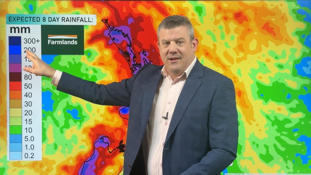
Thunderstorms, heavy rain potential 7 days ahead
Three low pressure zones look to bring rain into very dry parts of NZ over the coming days and week…