
Weekend gales, frosts & polar air next week
18/09/2026 11:51am
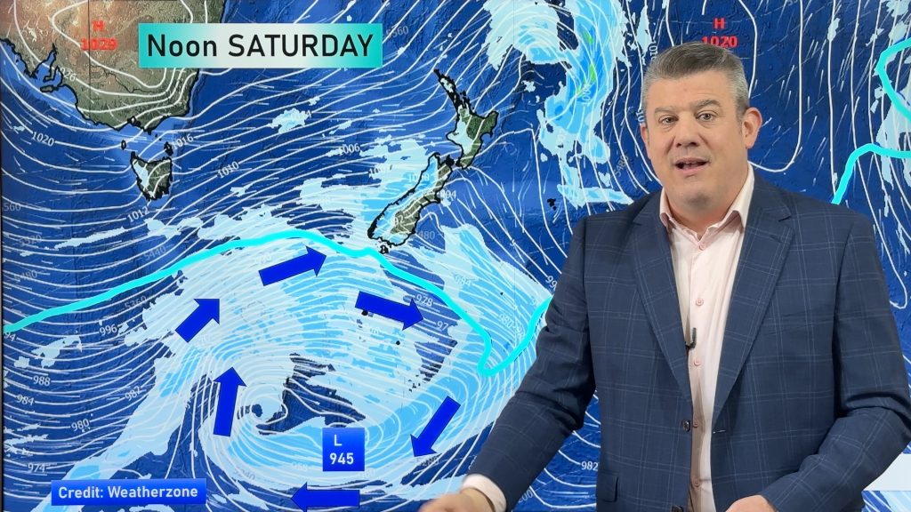
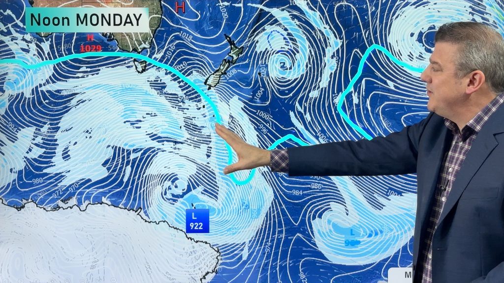
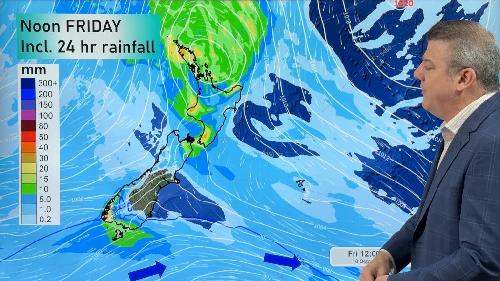
Low pressure is today over the upper North Island, replaced by a surge of gale west to south-west winds this weekend, then next week the polar boundary comes back – and may well go nationwide for a few days, bringing a return to winter air and frosts into both main islands.
We track the timing of the severe gales – and where they will most likely be – then the colder changes coming in next week.
Huge storms over the Southern Ocean, coupled with very strong high pressure over eastern Australia/western Tasman Sea is putting NZ in the middle of the belt of windy weather.
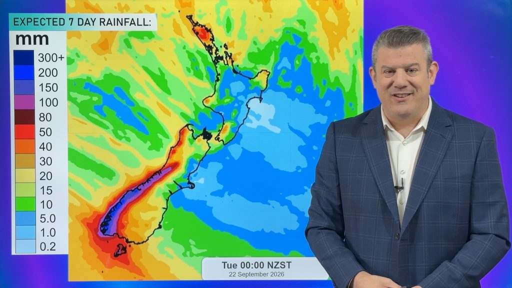
We also have an 8 day rainfall map, thanks to Farmlands, showing where the wet weather will (and won’t) fall.
Latest Video
Weekend gales, frosts & polar air next week
Low pressure is today over the upper North Island, replaced by a surge of gale west to south-west winds this…
Related Articles
Rain, showers, frosts – then windy again
In true early-spring fashion we have more windy weather on the way, but first low pressure is crossing the country…
Cold front, low pressure, then windy westerlies kick back in
A cold front is today and tomorrow moving into the country, with coldest weather in the southern half of the…
Cold change coming, northern low too
Temperatures will lift today and tonight ahead of a cold southern change tomorrow and Thursday, which will affect the southern…

