
Frosts, temp lift, more gales Sun/Mon for some
30/10/2026 11:54am
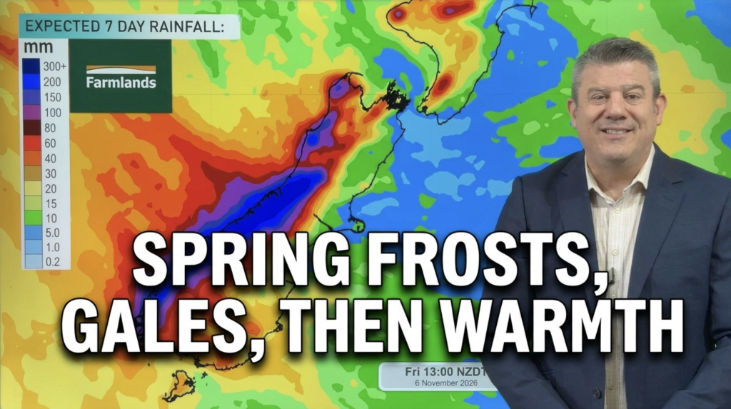
The spring weather pattern shows no signs of stopping, but this weekend will have high pressure cross the upper North Island bringing generally settled weather to half of NZ’s population for a time.
But the cold change today over the South Island will linger tonight, bringing a cold night with the chance of frosts inland, and some frosts for the central and eastern inland North Island too (wherever it’s sheltered with clear skies inland, temperatures will be low tonight/Saturday morning).
On Sunday and monday, as the high clears east of the North Island, a warmer sub-tropical flow kicks in bringing some wet weather to both main islands – but a lift in temperatures.
We show you NZ’s weather pattern right through to next Friday, and 8 day North & South Island rainfall animations, brought to you by Farmlands.
Latest Video
Frosts, temp lift, more gales Sun/Mon for some
The spring weather pattern shows no signs of stopping, but this weekend will have high pressure cross the upper North…
Related Articles
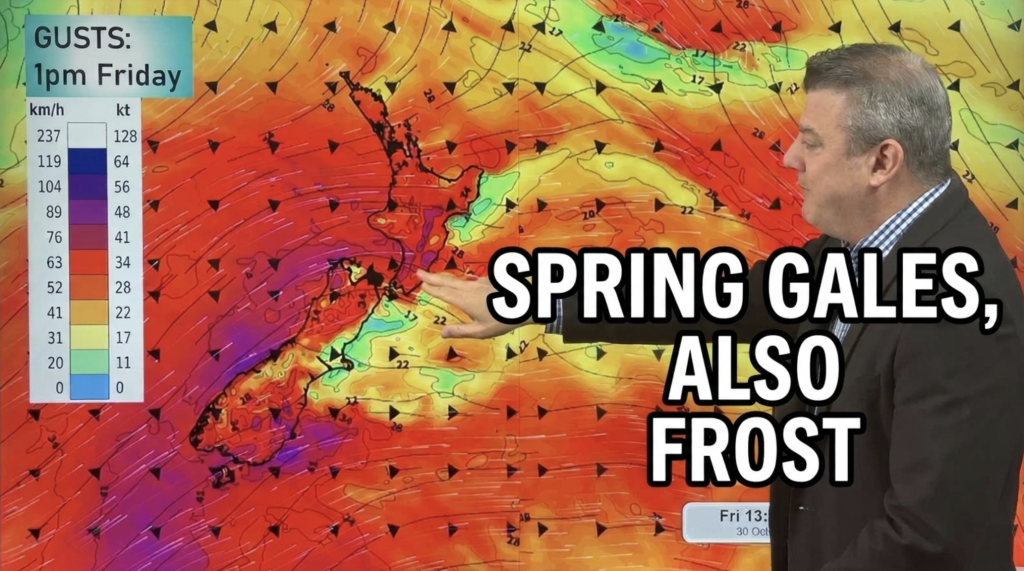
Spring blasts continue, but some high pressure this weekend
Severe gales continue off and on for some regions over today, and the days ahead – but high pressure will…
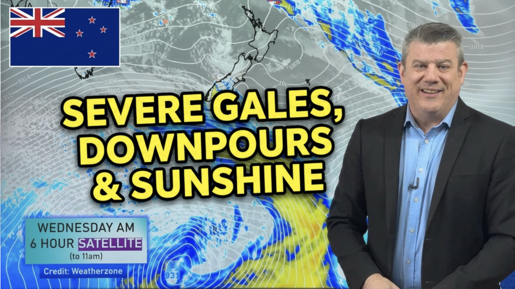
Gales, downpours, cold & warm changes coming
Another cold front is coming into NZ with a burst of severe gales, frosts, then high pressure rolls over northern…
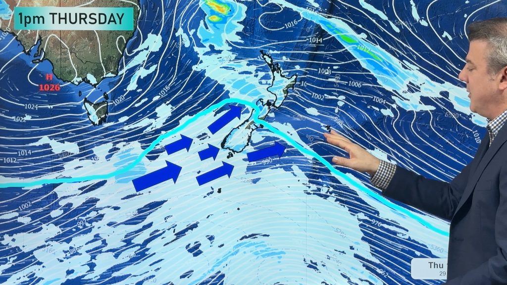
More severe gales & another cold change coming, but warm westerlies in the mix too
A cold front is today crossing the North Island with patchy rain, drizzle patches, downpours and dry spells. The front…