
Polar airflow to be replaced by tropical airflow
5/08/2026 10:32am
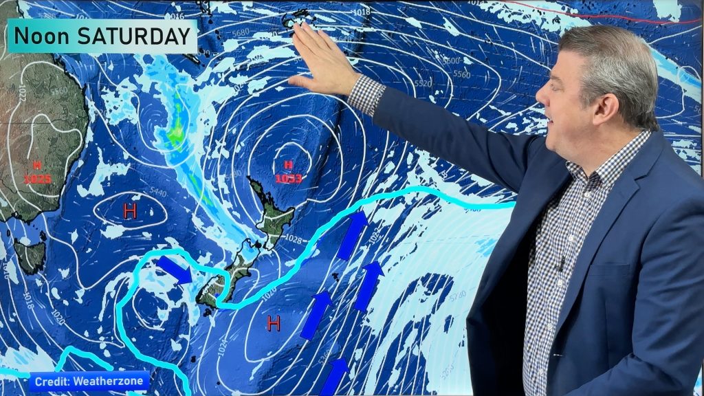
Heavier frosts are coming for parts of the country tonight and again tomorrow night as high pressure crosses NZ bringing light winds, clearer skies, and locking in the cold that has just spread over us.
However, by Friday, this weekend and kicking off next week, that same high will lie north-east of NZ and will start to drag down a milder northerly with connections to Tonga and Fiji. This will see frosts reduce and temperatures lift up.
There is also the chance of western and northern wet weather from Friday to Monday – it’s still not locked in as to how much will fall, so we’ll focus on that more in our Thursday and Friday video updates.
Latest Video
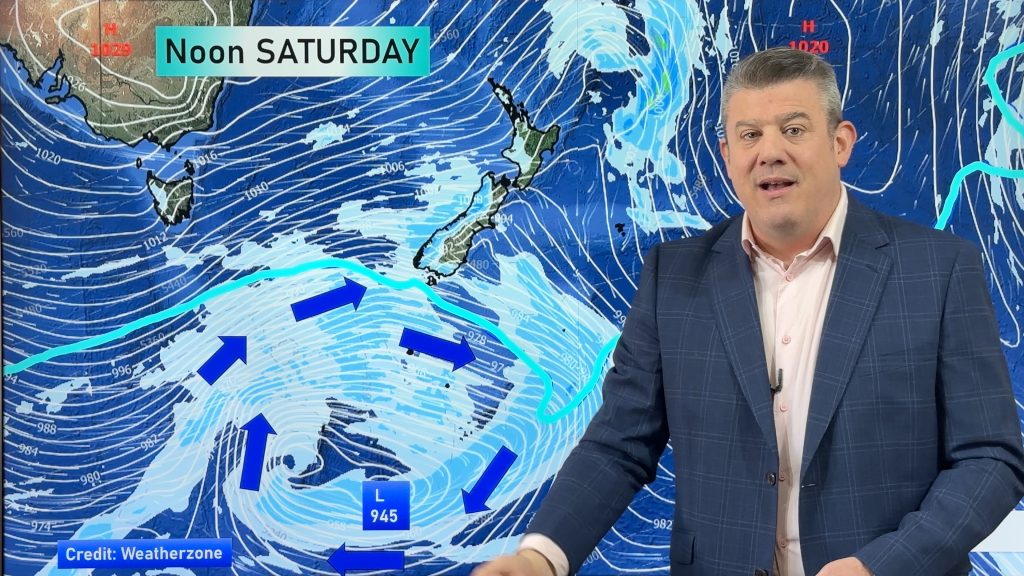
Weekend gales, frosts & polar air next week
Low pressure is today over the upper North Island, replaced by a surge of gale west to south-west winds this…
Related Articles
Weekend gales, frosts & polar air next week
Low pressure is today over the upper North Island, replaced by a surge of gale west to south-west winds this…
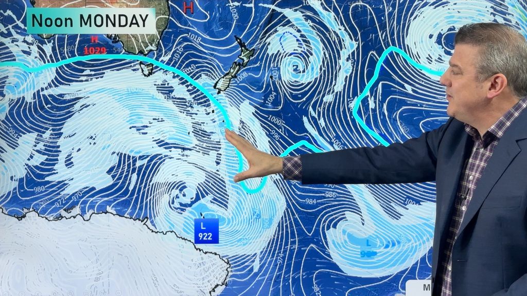
Rain, showers, frosts – then windy again
In true early-spring fashion we have more windy weather on the way, but first low pressure is crossing the country…
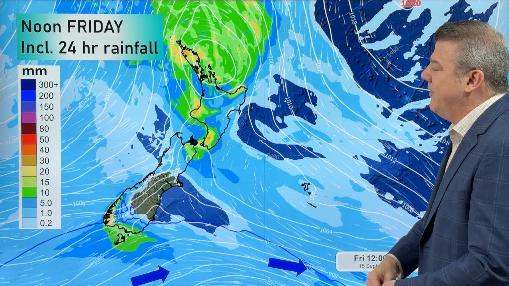
Cold front, low pressure, then windy westerlies kick back in
A cold front is today and tomorrow moving into the country, with coldest weather in the southern half of the…

