
Snow flurries, subzero windchill, heading northwards followed by heavy frosts
4/08/2026 11:53am
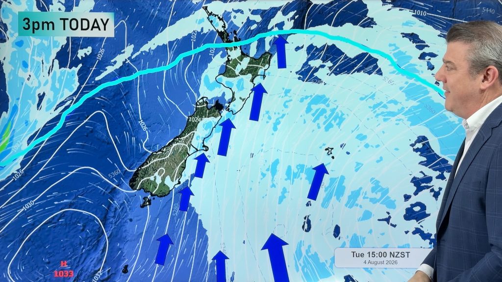
A wintry outbreak has seen snow in Dunedin and some in Christchurch this morning with snow flurries and colder southerlies spreading into the southern and eastern North Island this afternoon, with snow most likely above 200 or 300 metres, but some sleety rain/snow mixes may go lower for a time.
The polar boundary, measuring the coldest of the southerly airflow, spreads northwards today, reaching Auckland and Coromandel Peninsula by mid afternoon and Northland by this evening. It may not bring a lot of wet weather, for some none at all, but it will bring a drop in temperatures.
This kicks off a few cold days around NZ with heavy frosts at night thanks to high pressure moving in. This high will ensure light winds and clearer skies in many regions going into Wednesday and/or Thursday.
This weekend the forecast isn’t yet locked in – the North Island may have sub-tropical nor’westers for a time, but there is the chance of some low pressure and wet weather too. We’ll update you on this in more detail in our Wednesday and Thursday video updates.
For those who have early lambing, please use the WeatherWatch App, or visit RuralWeather.co.nz, to view hourly windchill forecasts – they will be tough for the next 12 to 24 hours. If snow is expected to settle for a time where you live, the snow icon will also likely appear in our forecasts.
Latest Video
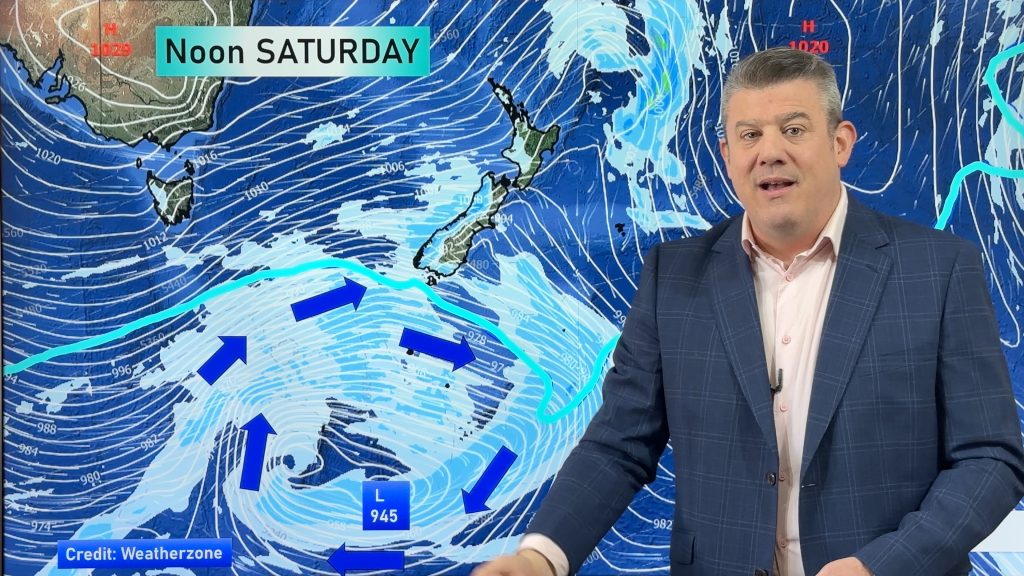
Weekend gales, frosts & polar air next week
Low pressure is today over the upper North Island, replaced by a surge of gale west to south-west winds this…
Related Articles
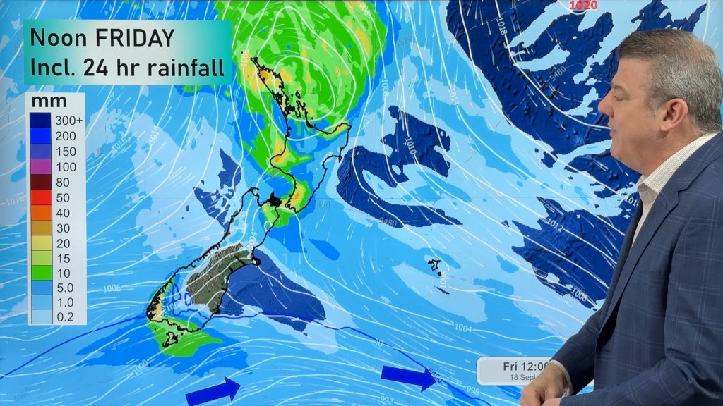
Cold front, low pressure, then windy westerlies kick back in
A cold front is today and tomorrow moving into the country, with coldest weather in the southern half of the…
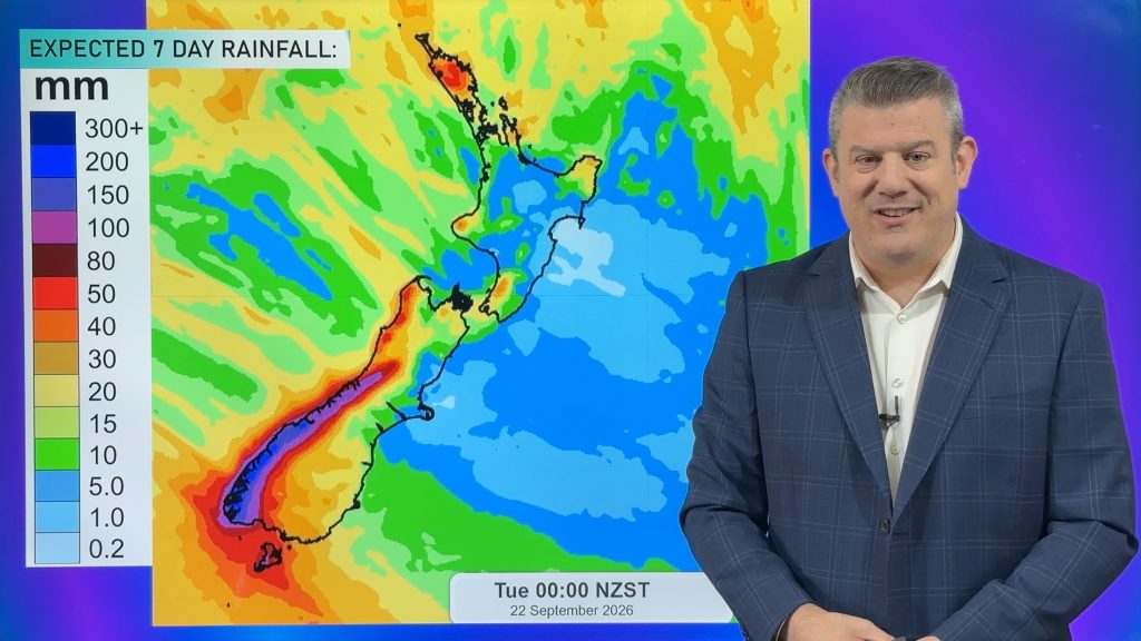
Cold change coming, northern low too
Temperatures will lift today and tonight ahead of a cold southern change tomorrow and Thursday, which will affect the southern…
Next spring blast coming, we track the gales & rain
Many places will become warmer over the next few days, ahead of a cold change mid to late week. Windy…

