VIDEO: Very large low brings flooding risks for Canterbury, heavy Southern Alps snow
27/05/2021 9:50pm

> From the WeatherWatch archives
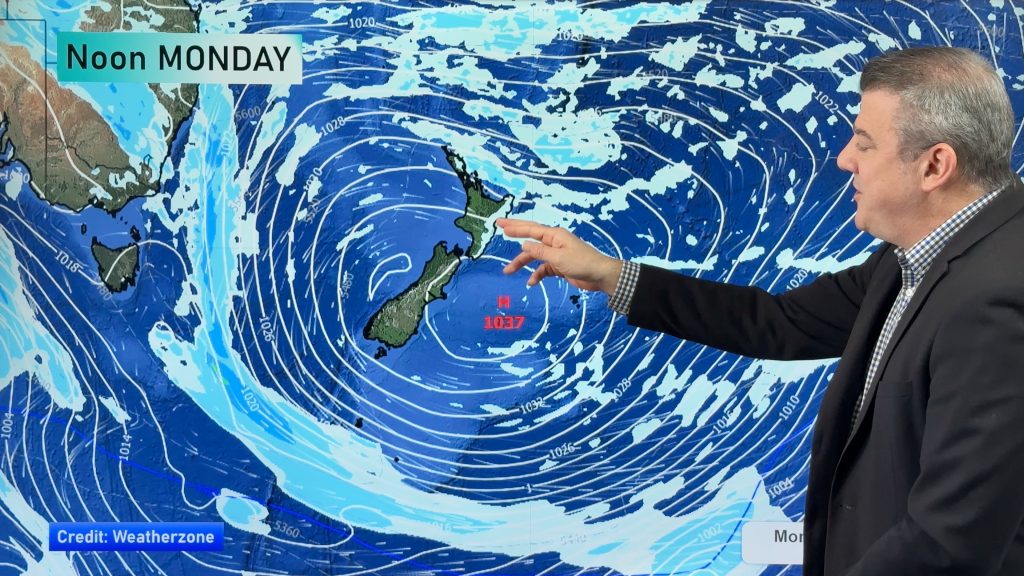
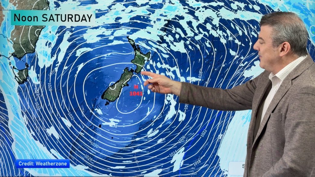
A big south easterly air flow will blast of NZ’s South Island and right into Sydney and Brisbane this week as a significantly large low pressure system forms in the NZ area.
The large size of the low means the worst weather will be on the outer edges, whereas the centre may be fairly calm and dry – and we track where that centre will go.
But Canterbury is still forecast to get up to 200mm this weekend – which is a lot even for one month let alone just two days. Snow accumulations may also exceed 1 metre on the Southern Alps.
Comments
Before you add a new comment, take note this story was published on 27 May 2021.


Add new comment