VIDEO: NZ’s severe weather risks as gales, thunder and polar air move in
28/08/2025 11:13pm

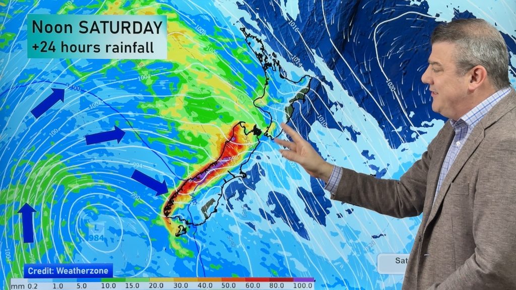
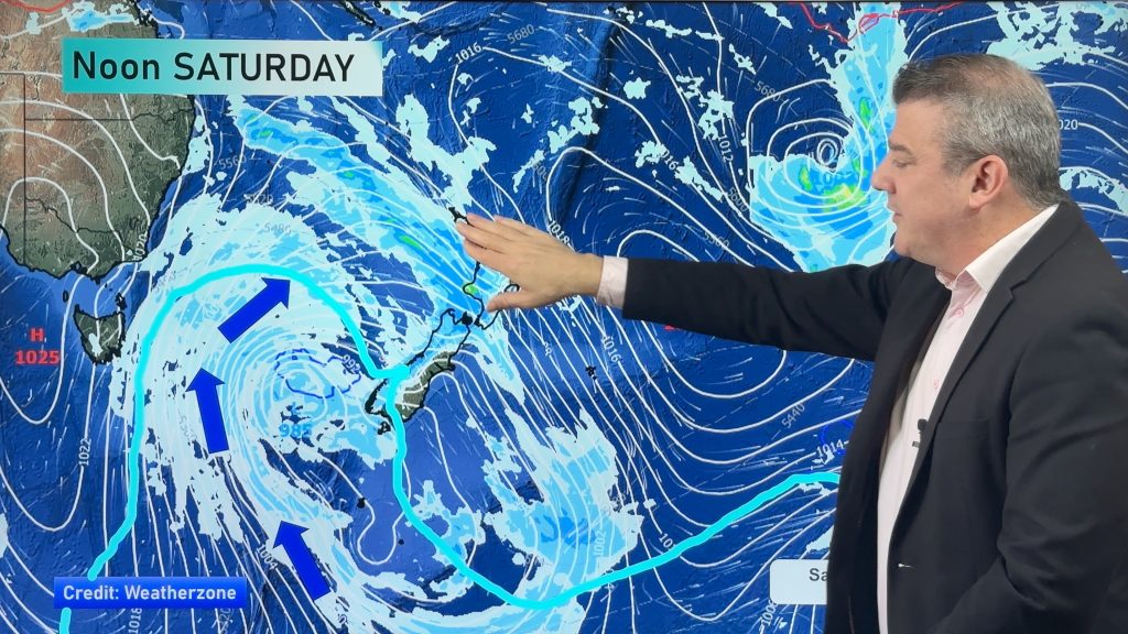
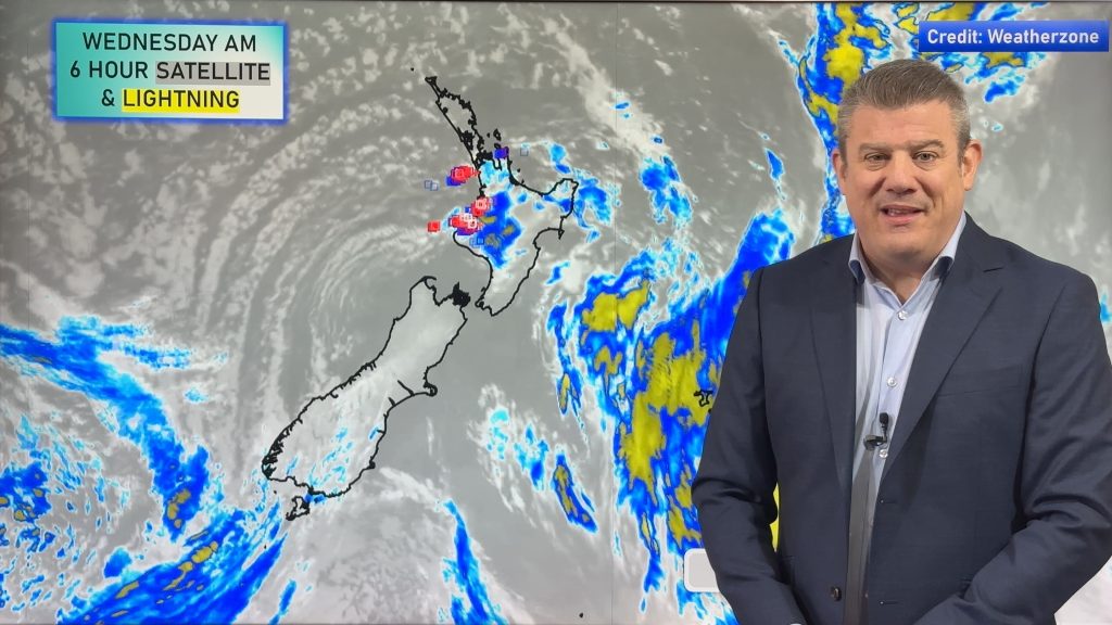
Surges of severe weather will push across NZ over the coming days with damaging winds, squally heavy showers (some with hail and thunder off the Tasman Sea) and two pulses of cold polar air.
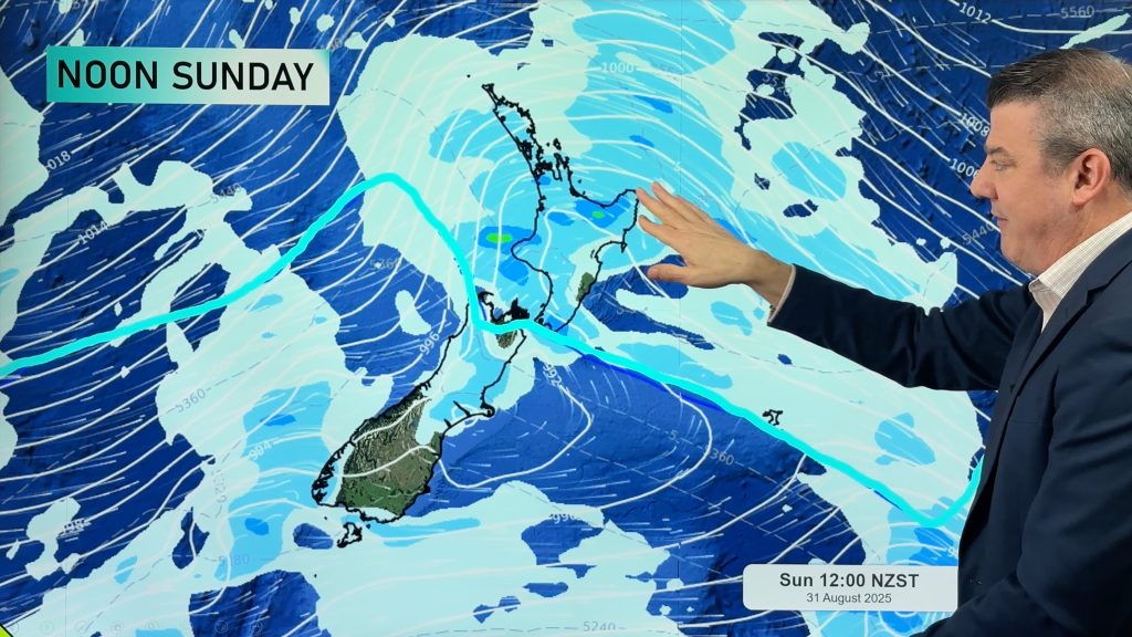
The first cold change comes in today and tonight, before easing over the North Island on Saturday. By Sunday and Sunday night the next push of polar air moves up the nation, up to about Auckland by later in the day and may also have damaging winds and squally showers.
The westerly flow and northern placement of high pressure means those in the very north and along the eastern side of NZ will have longer, drier, spells and a better chance for sunshine.
Our forecast covers the next 7 days ahead and upcoming rainfall, plus a break down on where the windiest weather will be – and when that is likely.
Keep up to date with official MetService warnings and watches.


Add new comment
Tina Larsen on 31/08/2025 6:48am
Really great podcast feel, 10 mins info packed, love it
Reply
Richard Charles Phillips on 29/08/2025 8:41pm
Very informatve Thank you
Richie
Reply