VIDEO: Northern low kicks off this week, stormy weekend possible
11/07/2021 9:51pm

> From the WeatherWatch archives
A low near Northland will deepen today as it tracks towards East Cape bringing coastal gales to the east, especially between the Bay of Islands and Whangaparaoa and then later around East Cape and Eastern BoP.
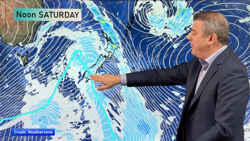
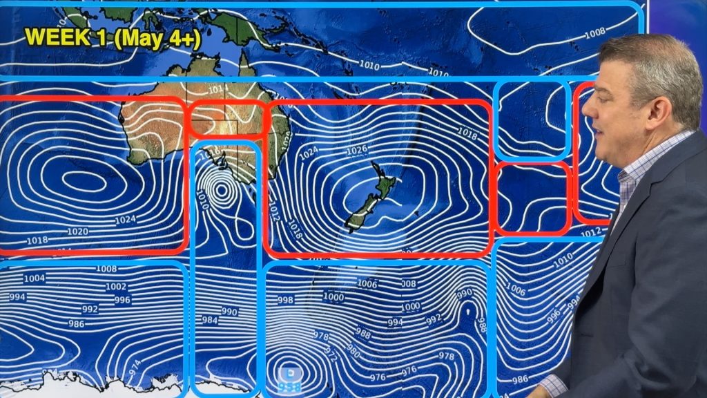
In the coming days the low moves off shore and things settle for the most part – but by Friday and Saturday the next surge of gales moves in, this time from the west and may impact both main islands.
Comments
Before you add a new comment, take note this story was published on 11 Jul 2021.


Add new comment
Fraser on 12/07/2021 8:00pm
Hi there what is thunderstorm outlook for Sunday in Miramar Wellington
Reply
WW Forecast Team on 12/07/2021 8:03pm
Hi Fraser, it’s too far out to lock in Sunday for thunderstorms but there is a chance of an isolated thunderstorm as the main cold front moves northwards on Saturday/Sunday, but generally low risk this far out.
Our thunderstorm Risk map (and MetService’s outlook) can both be found here and they start to show Sunday later in the week: https://www.weatherwatch.co.nz/maps-radars/lightning/blitzortung
Reply