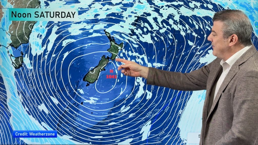
VIDEO: More snow & rain showers for NZ & Australia
7/08/2023 10:58pm

> From the WeatherWatch archives
There’s a lot of high pressure around Australia with NZ on the edges of it – and low pressure zones nearby. It means, for New Zealand, an unsettled weather pattern for the next 10 days bringing classic mid-August weather with snow flurries for the mountains and ranges of both islands, more sou’westers – and some fairly weak low pressure zones in the mix. It means rainfall for NZ is normal or even slightly below normal for some in the coming 10 days.
We have your NZ and Australia forecast to Sunday – and a brief mention of the tropics as easterlies and showers continue there.
Comments
Before you add a new comment, take note this story was published on 7 Aug 2023.


Add new comment
Andrew on 8/08/2023 10:41pm
Today’s video is a repeat from yesterday?
Reply
Jaelle on 8/08/2023 5:57am
Can you send some up to Canberra? Thank you. All the best, weather watch!!
Reply
WW Forecast Team on 11/08/2023 12:48am
Will do our best 🙂 Thanks for the support from A.C.T!
Cheers
WW
Reply
Vikas on 8/08/2023 1:24am
Hi WW Team,
With your latest video I can see cold southerlies with decent level of moisture for Central Plateau.
We are travelling to Ohakune Friday early morning.
Will we see any snow in Waiouru and Ohakune on Friday morning? Would love to see snow in towns.
Cheers,
Vikas
Reply
WW Forecast Team on 8/08/2023 2:10am
Hi Vikas, yes more cold air on the way and Ohakune is borderline while Waiouru and the Desert Road look more likely. Highest risk for snow is on Thursday night/Friday morning. Definitely some snow in the area so it shouldn’t take a big drive around to find some hopefully 🙂
Cheers
WW
Reply