VIDEO: Expect the unexpected – Flash flood risk as large low approaches NZ
27/05/2025 1:20am

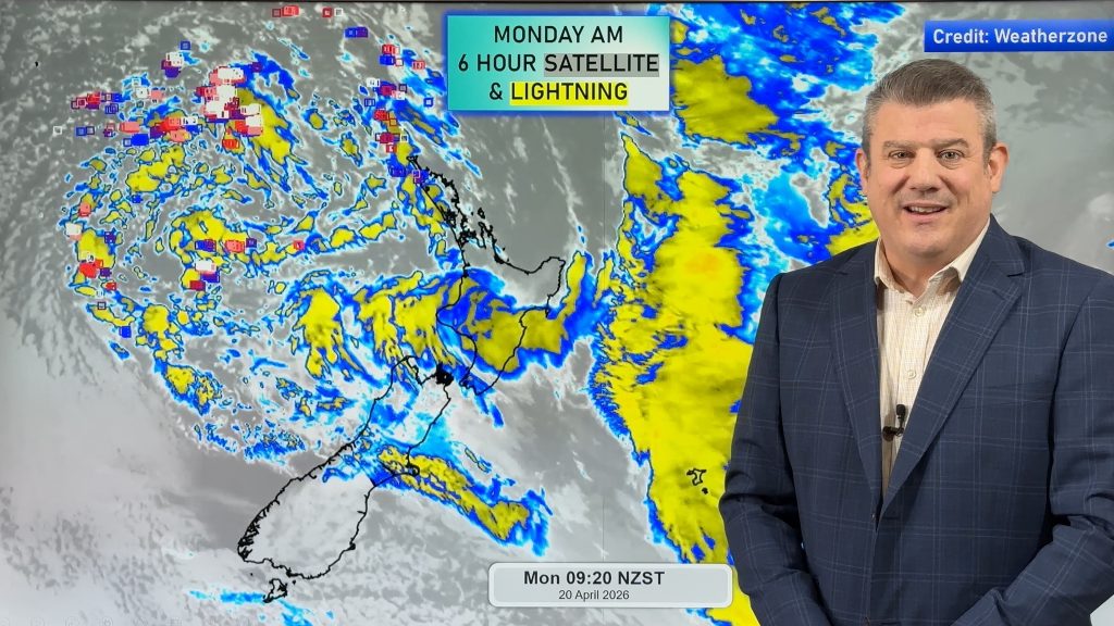
Large low pressure zones can produce sudden, unexpected, torrential downpours – as we saw in Nelson yesterday, ahead of this large low pressure zone moving in on Thursday.
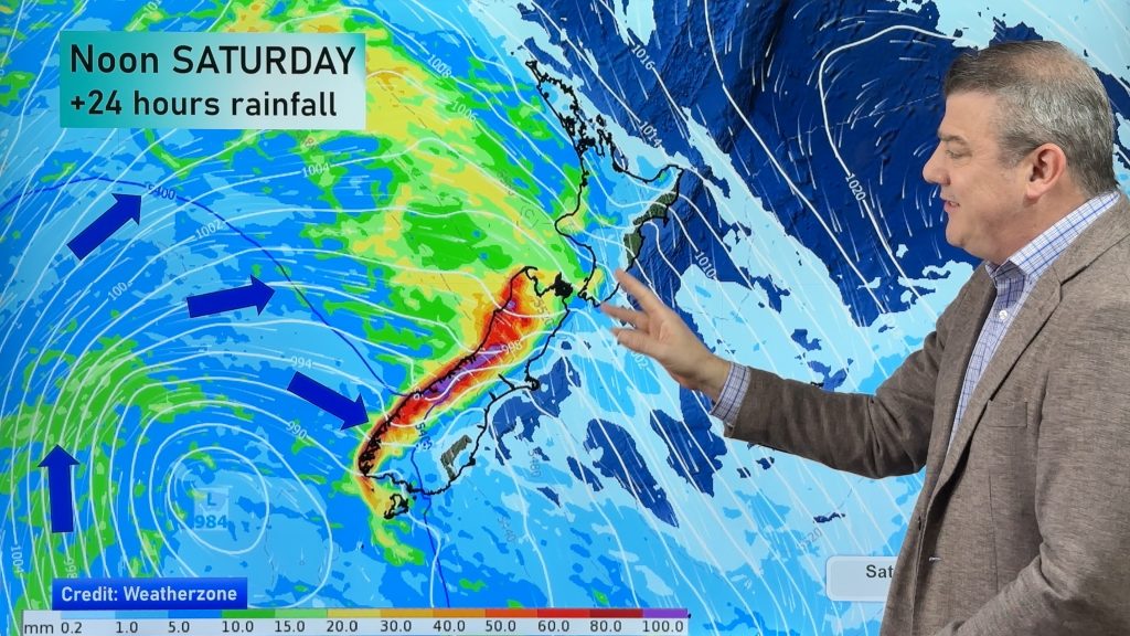
Severe weather risks return again on Wednesday as the low moves in properly – but it’s Thursday/Friday AM that likely have the highest risk for sudden downpours, severe thunderstorms, and the potential for flash flooding that may not have been specifically forecast. This is because warm and cold air mixing, along with large low air pressure, are the perfect recipe for creating new and intense downpours as it interacts with New Zealand’s land (plus daytime heating).
We cover general risks – and New Zealand’s weather forecast out to King’s Birthday Monday. This forecast will still change a bit in the days ahead – as is always the nature with such a large sized low pressure zone. NZ’s mountains and ranges further complicate the precision of longer range forecasts (beyond a couple days) as just slight shifts in wind direction can significantly alter your severe weather risks.
Phil will have more details on Wednesday – and keep up to date with all the free maps and local forecast data in our FREE WeatherWatchNZ App and at WeatherWatch.co.nz and RuralWeather.co.nz. Keep up to date with official warnings from MetService, which you can find in our app and website(s).


Add new comment