VIDEO: Cold blast for New Zealand to bring gales, downpours, big temp drop
8/05/2023 10:13pm

> From the WeatherWatch archives
The warm sub-tropical air is about to be kicked eastwards and will be replaced by a colder southerly for NZ, sparking isolated thunderstorms, squalls and some heavy downpours over the next day or two.
The coldest air arrives in the South Island on Wednesday and into the North Island by Wednesday night and Thursday. This is the same southerly that is currently affecting the south east corner of Australia.
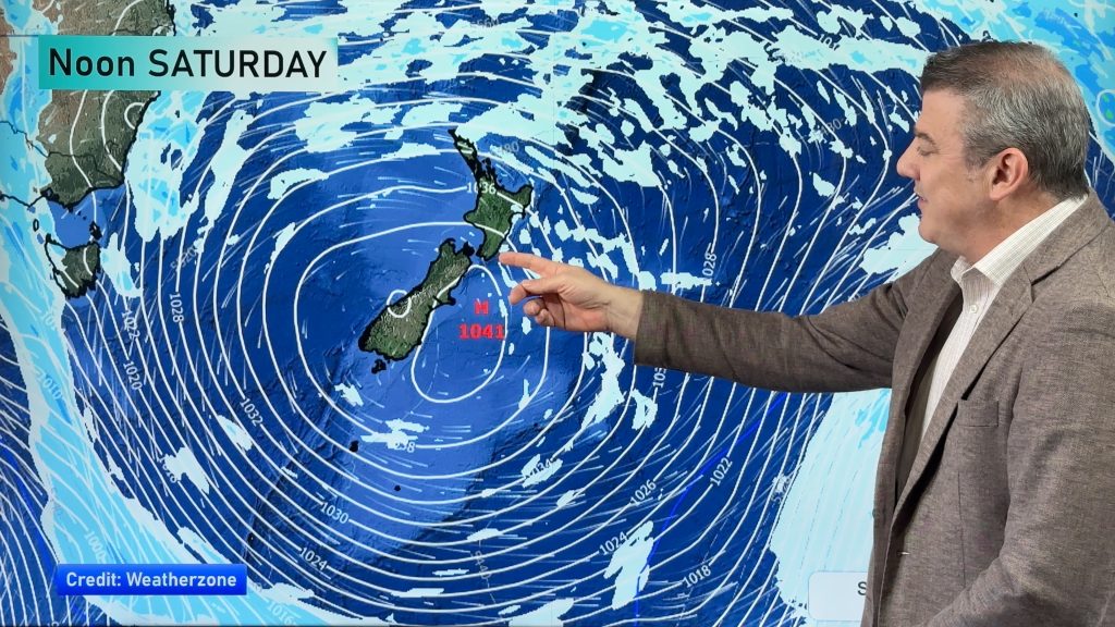
High pressure will expand across eastern and southern Australia this week – and will reach NZ on Friday and Saturday, but a few showers with another south east surge are expected in Canterbury on Sunday.
We have your New Zealand / Australia forecast out to Sunday.
Comments
Before you add a new comment, take note this story was published on 8 May 2023.


Add new comment