VIDEO: Big high coming in, cool nights but warmer days developing
16/02/2021 11:33pm

> From the WeatherWatch archives
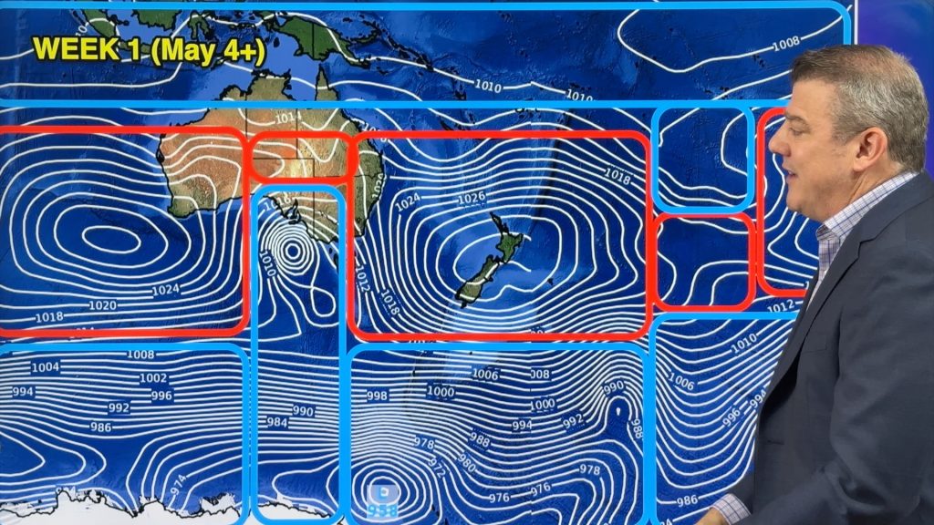
It was frosty in some South Island locations this morning ahead of a large belt of high pressure about to cross all of NZ in the days ahead.
This big high will push away the sub-tropical low and any rain for the North Island.
Overnight lows will be below average in many places for the next four nights though, while daytime temperatures bounce back above average for many by Friday or into the weekend.
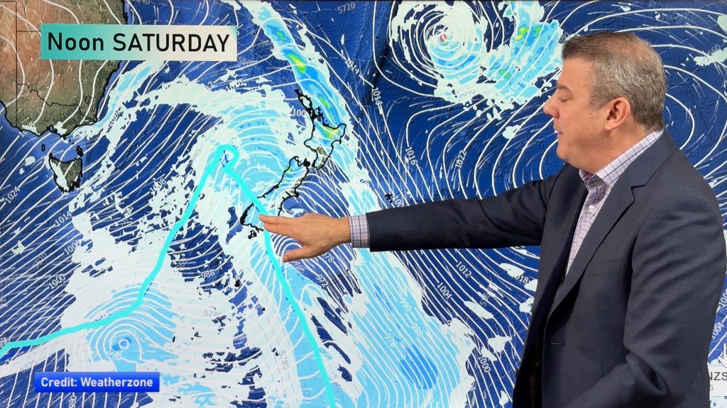
Next week a storm in the Tasman Sea and a low near Fiji / Tonga will be worth monitoring but, for now, pose no direct threat to New Zealand.
Comments
Before you add a new comment, take note this story was published on 16 Feb 2021.


Add new comment
Ron on 17/02/2021 6:18am
I actually love the new introduction music – it’s much more relaxing. And I really enjoy each weather video, and miss them when they are not there. Keep up the excellent work.
Reply
Sally Burnett on 17/02/2021 2:35am
Oh no you’ve changed the music. We loved the other one as it was a big highlight of our day preceding Phil or as we call him
“Punxsatawney Phil” as he predicts the weather. No offence to Phil.
Reply
WW Forecast Team on 17/02/2021 2:46am
Haha!! That’s funny! It’s weird, no one has ever given me that nickname after all these years! 🙂
Thanks for the message Sally,
Cheers,
Punxsatawney Phil (NZ)
Reply