Updated: Frost Risk this Fri/Sat (+Maps & Graphs)
18/10/2022 7:38pm

> From the WeatherWatch archives
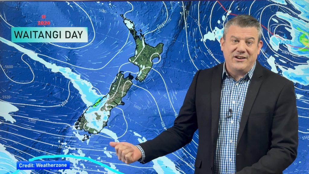
Cooler air is about to spread up the South Island and the southern and eastern sides of the North Island as a large high pressure zone arrives for the long weekend. It means a great weekend for holidaymakers but some frosts are likely inland.
For the most part frosts don’t look heavy – but at this critical time of year for growers the attention to detail matters, so here are the latest frost risk maps.
It looks as though the main risk for frosts down at lower levels will be around Southland and Otago…the further north you go the higher the elevation the frosts go too.
There are two ways we help provide you with information on frosts.
- Nationwide frost risk maps at WeatherWatch (at a glance you can see areas most impacted in relation to where you are)
- The NZ Frost Forecaster at RuralWeather (provides hyper-local frost risk graphs as you see below)
Our next weather video out around noon today/Wednesday will have further details.


- WeatherWatch.co.nz / RuralWeather.co.nz
Comments
Before you add a new comment, take note this story was published on 18 Oct 2022.


Add new comment