Updated: 7 day rainfall & 7 day snowfall maps + Wind & swell maps (+12)
13/04/2020 8:26pm
> From the WeatherWatch archives
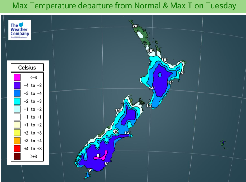
We have peak cold today across New Zealand and a colder night tonight. Winds are also peaking today and while another surge of gales is currently spreading over various regions they also ease back as we head into Wednesday.
For Tuesday conditions will be colder than average in every region from Waikato southwards, by a few to several degrees. This is thanks to a significant south to south west flow over New Zealand from Antarctica and the Southern Ocean. Tonight will be similar.
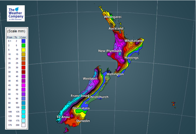
On Wednesday deep low pressure near the Chatham Islands will keep parts of NZ windy – in particular eastern coastal areas. For those who like a beach walk in your local area please keep in mind waves will be bigger and randomly go further up the beach so take extreme care if taking a local stroll over the next few days – in many coastal areas.
This Thursday and Friday conditions ease back for many even further with warmer days and lighter winds.
But another low this weekend (central air pressure closer to 980 hPa, rather than 960 hPa as with this current low) will encourage more windy weather to return up the country as it brushes by Southland.


- WeatherWatch.co.nz
Latest Video

Colder nights/mornings, polar change coming Sun/Mon
The nights and mornings ahead will be colder in a number of regions – but an even colder change is…
Related Articles
Colder nights/mornings, polar change coming Sun/Mon
The nights and mornings ahead will be colder in a number of regions – but an even colder change is…

Frosts, clearer skies coming – severe weather possible this weekend
High pressure lies south of NZ today and that placement encourages a colder south-east wind into the North Island bringing…

NZ: 8 Day outlook as gales & rain ease, high pressure builds
Damaging wind gusts and heavy rain will continue to affect some parts of the North Island and brushing Marlborough today…

