
Tracking the showers & colder changes
15/07/2026 12:42pm
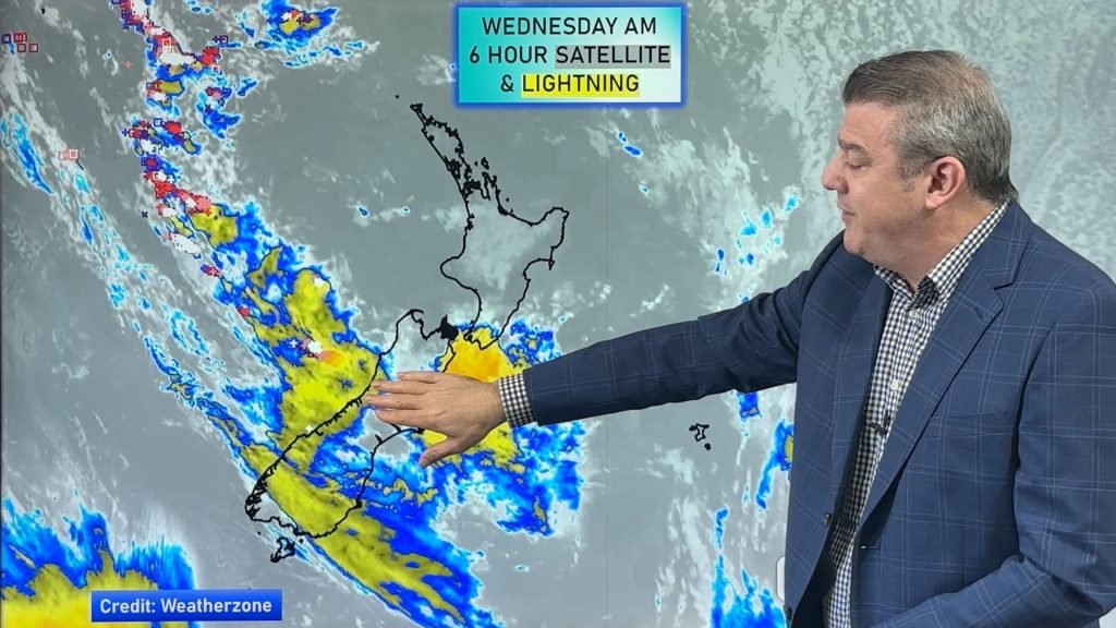
High pressure isn’t over NZ, but is nearby – and it’s affecting our airflows and who gets wet weather and who misses out. We track the next couple of bursts of colder air and the wet weather risks that come with it.
While not a lot in the way of severe weather, there are heavy rain and thunderstorm risks today on the West Coast, and the polar airflow coming in behind it will drop temperatures in the lower South Island with another dusting of snow on the mountains and ranges.
We track New Zealand’s weather outlook from today through to next Tuesday and have a 7 day rainfall map to make sense of it all.
Latest Video
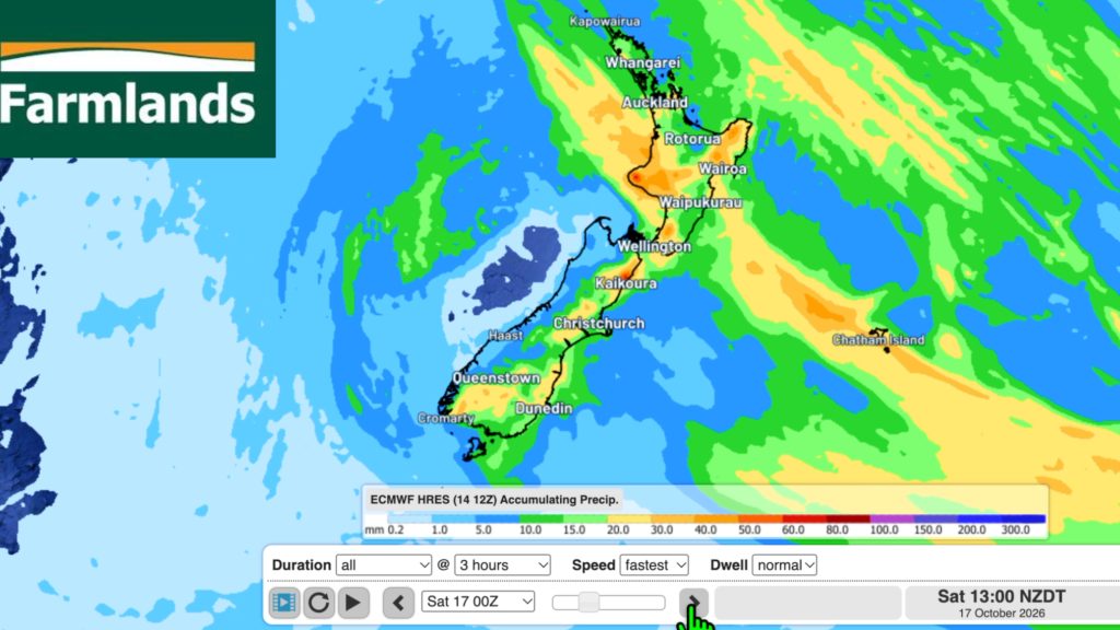
Southerly change, T-Storms & Frost risks
Low pressure continues to cross NZ today, potentially bringing a few thunderstorms with it overnight and into Friday for the…
Related Articles
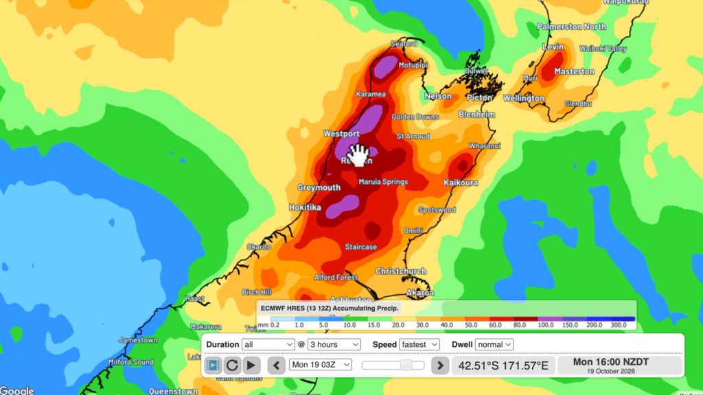
Cold southerly about to blow through
A wintry change is moving into NZ, although still warm nor’westers ahead of it today in many regions. Over the…
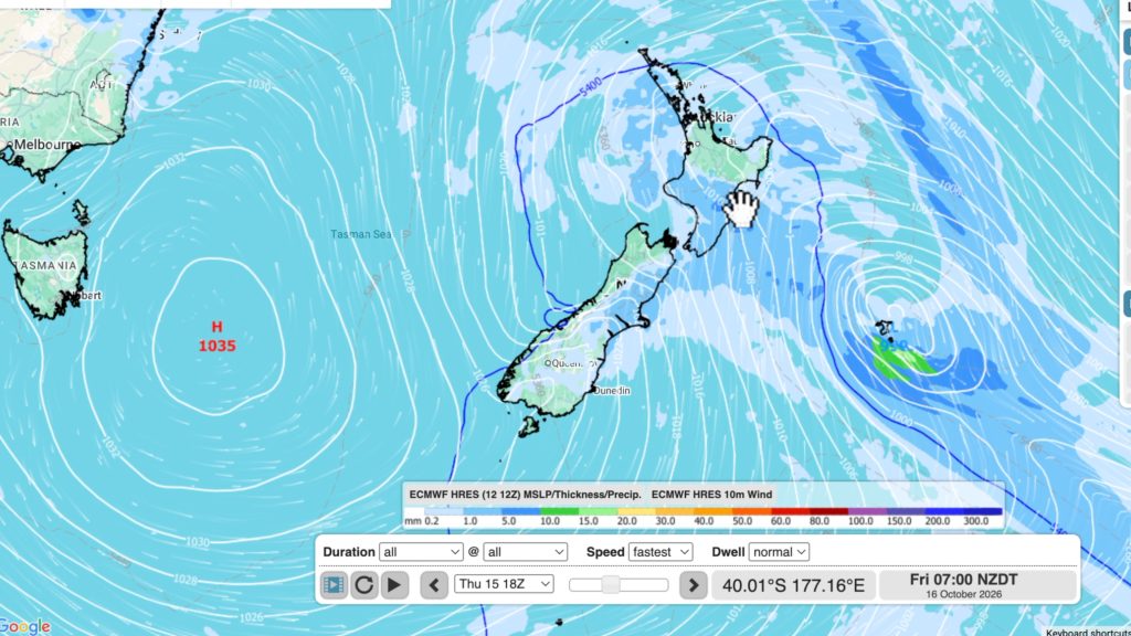
Winter snap, strong winds, downpours, alpine snow
It’s still warm in a number of places but a colder change is coming nationwide by late week with a…
Hotter, but Wintry Snap coming late week
Temperatures will soar into the mid to late 20s early week but single digits for some by late week as…

