
Some polar airflows but more high pressure to affect NZ’s weather
16/07/2026 11:56am
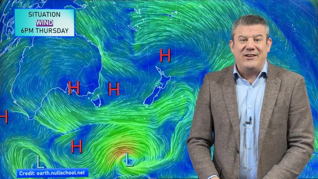
Showers are in the forecast over the next several days, we track where and when they occur – but there is also a lot more high pressure coming into the forecast for New Zealand.
More high pressure means, for most regions, winds will be lighter and skies will be drier.
Windiest weather will likely be in the southern South Island, through the Southern Alps and around Cook Strait – but nothing too alarming is showing up. Most wet weather chances are in the Deep South and along the western side of the nation, with the bulk of the western wet weather in the southern half of the South Island.
We have your NZ big picture forecast though to Wednesday of next week.
Latest Video
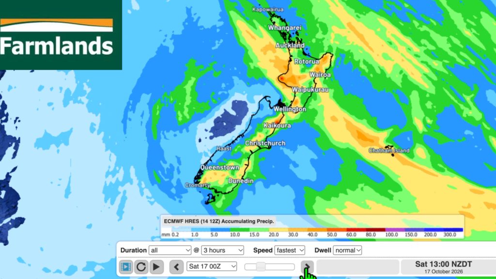
Southerly change, T-Storms & Frost risks
Low pressure continues to cross NZ today, potentially bringing a few thunderstorms with it overnight and into Friday for the…
Related Articles
Southerly change, T-Storms & Frost risks
Low pressure continues to cross NZ today, potentially bringing a few thunderstorms with it overnight and into Friday for the…
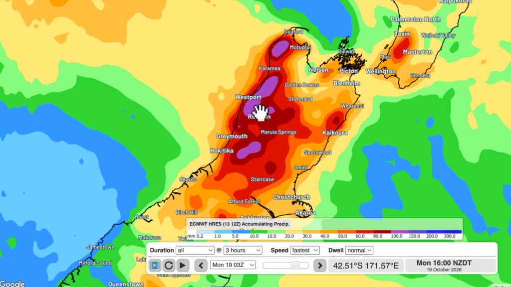
Cold southerly about to blow through
A wintry change is moving into NZ, although still warm nor’westers ahead of it today in many regions. Over the…
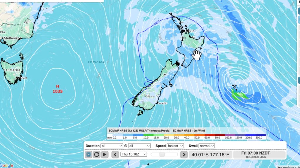
Winter snap, strong winds, downpours, alpine snow
It’s still warm in a number of places but a colder change is coming nationwide by late week with a…

