
Wintry blast coming this weekend, everyone will feel the temperature drop
20/07/2026 12:24pm
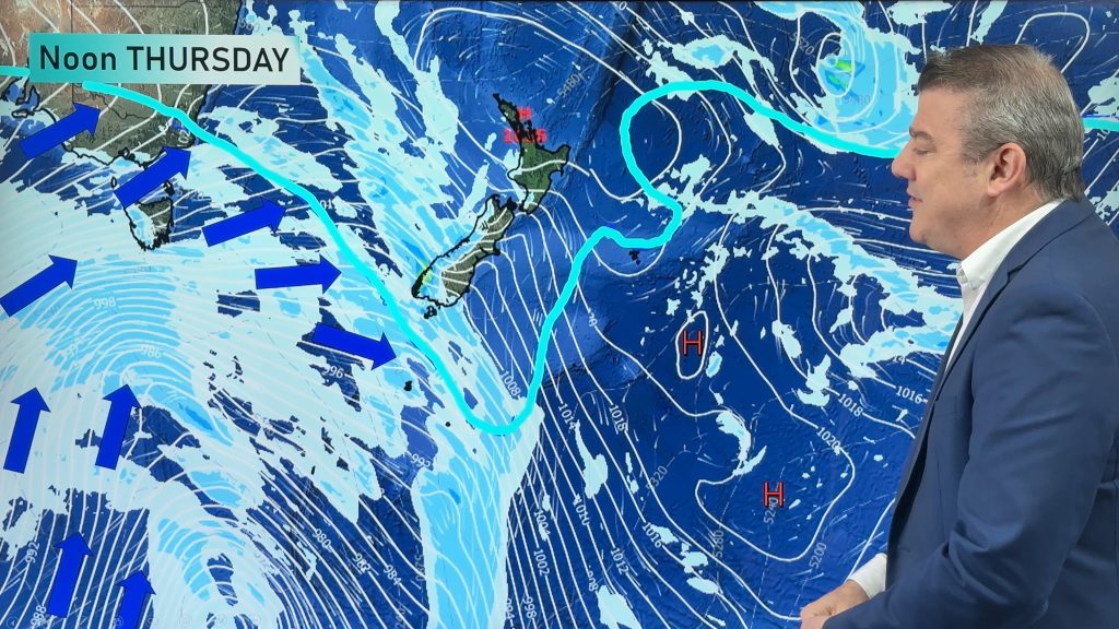
A significant cold change is coming in this weekend, starting as early as Friday for the lower South Island and going nationwide by the end of Saturday. It will bring snow to the hills and ranges of the South Island and to the mountains and ranges of the North Island – although snowfall levels and totals are not yet locked in.
The wind flow will be south to south-west for many regions this weekend – and our mountains and ranges will block moisture for some, bringing sunny and/or dry weather into certain regions. Most wet weather will be in the south and west of the South Island and the western side of the North Island.
Before this all arrives we still have a fair amount of high pressure around – bringing a dry and fairly sunny start to the week in the South Island, but some lower pressure around the upper North Island today will drag in some showers and areas of rain.
Latest Video

Weather this week & Labour Weekend
High pressure dominates NZ’s weather this week, but slides off much of the country by Labour Day Monday. Despite the…
Related Articles
Weather this week & Labour Weekend
High pressure dominates NZ’s weather this week, but slides off much of the country by Labour Day Monday. Despite the…
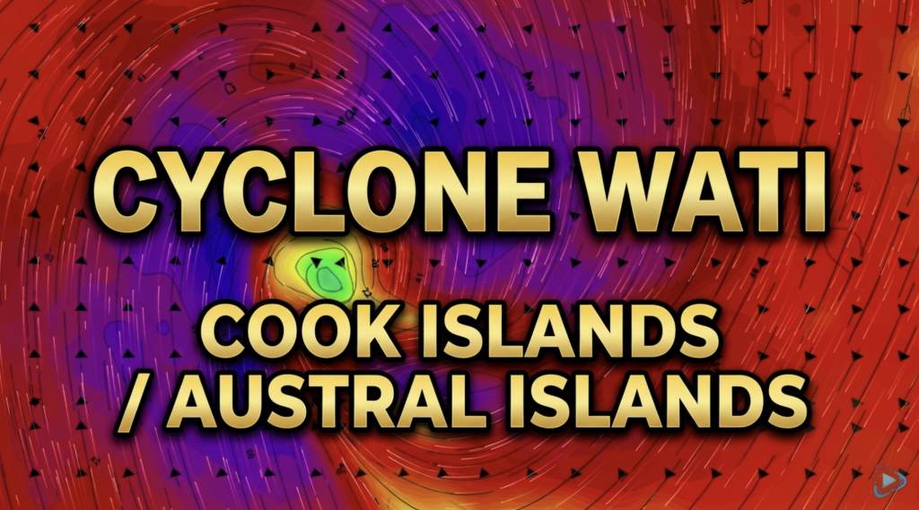
Cyclone Wati: Cook Islands today, Austral Islands tomorrow
Tropical Cyclone Wati is today (Sunday local time, Monday NZDT) tracking over the Cook Islands bringing damaging wind gusts to…
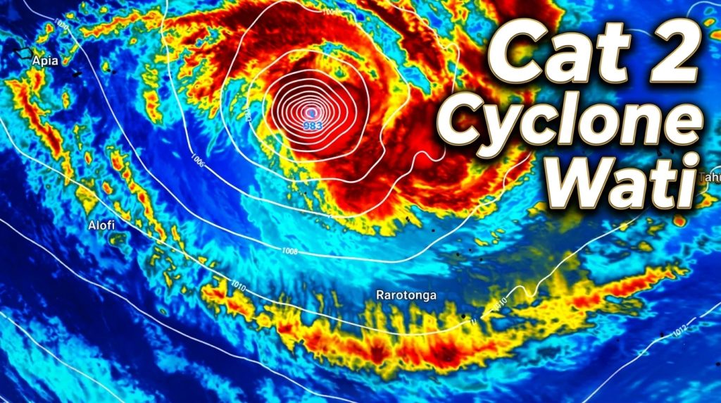
Tropical Cyclone WATI – Update
Sunday NZDT/Saturday Cook Islands Time — We have the latest on Cyclone Wati as it remains a Category 2 Tropical…

