
Tracking the showers & a potential wintry blast late next week
17/07/2026 1:07pm
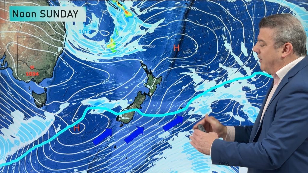
NZ is on the edge of high pressure with anticyclones moving through at times over the next several days bringing shifts in wind direction and temperatures – we track where the coldest air will move, as it does shift around a bit.
But forecasters are now watching longer range maps for a potential wintry weather outbreak later next week or next weekend. This far out, at this time of year, it’s very hard to lock in with certainty but there is expected to be a shift to low pressure, stronger winds and a burst of colder weather with snow for parts of NZ.
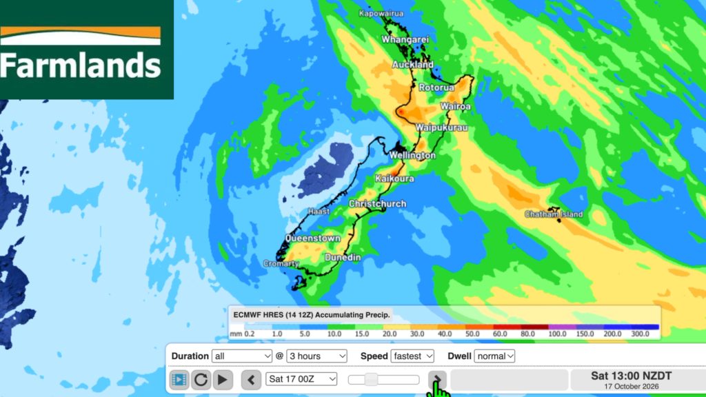
We also have an 8 day rainfall map to make sense of it all.
Latest Video
Southerly change, T-Storms & Frost risks
Low pressure continues to cross NZ today, potentially bringing a few thunderstorms with it overnight and into Friday for the…
Related Articles
Southerly change, T-Storms & Frost risks
Low pressure continues to cross NZ today, potentially bringing a few thunderstorms with it overnight and into Friday for the…
Cold southerly about to blow through
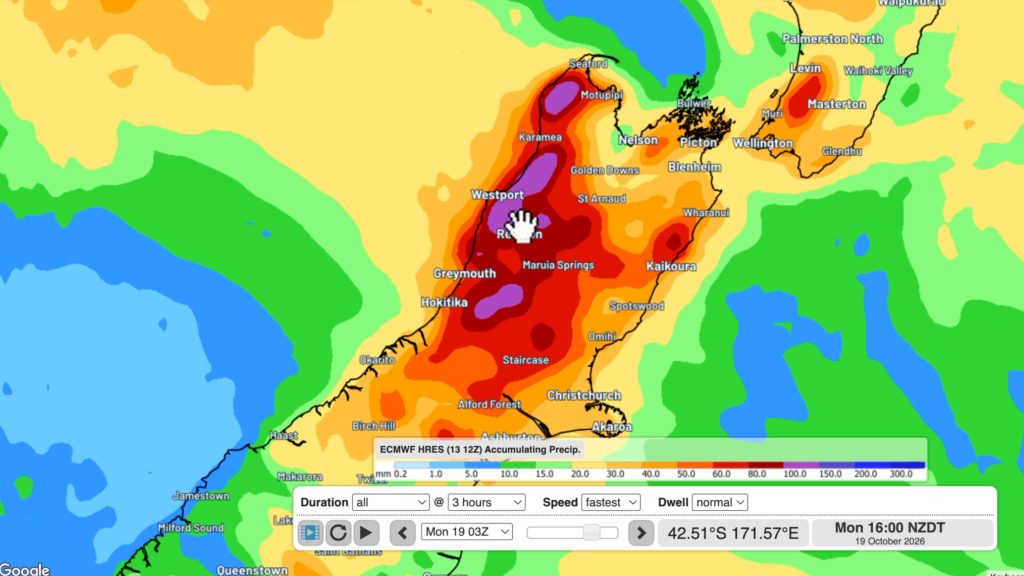
A wintry change is moving into NZ, although still warm nor’westers ahead of it today in many regions. Over the…
Winter snap, strong winds, downpours, alpine snow
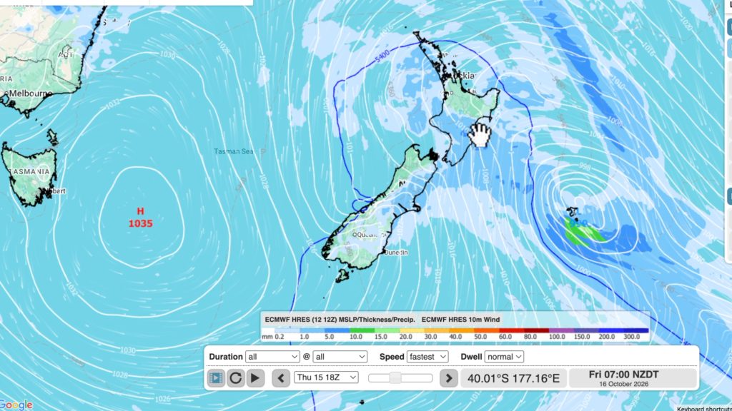
It’s still warm in a number of places but a colder change is coming nationwide by late week with a…

