Sunday’s national forecast – Between two lows (+9 Maps)
10/04/2021 4:00pm

> From the WeatherWatch archives
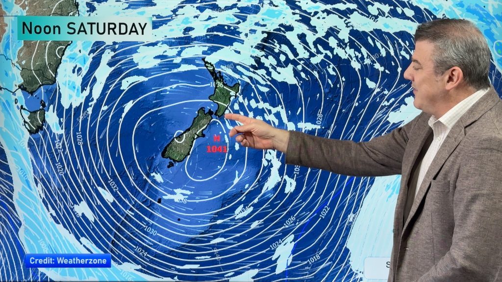
Today is an in-between-day, as a low from Saturday departs but before the low for Monday arrives in the south.
A storm – a very small one – lies just north of NZ in the subtropics. In fact it may well have cyclone force winds around it for a time. It will only last 24 hours (or less) before fizzling out and doesn’t look to impact NZ.
A low in the lower South Island will bring rain on Monday to the West Coast with heavy falls but for today conditions should start to ease with increasing dry spells later.
Most of NZ will be warm today (and warmer than average), especially in the north and east.
For more details check our your HOURLY LOCALS forecasts at WeatherWatch.co.nz and RuralWeather.co.nz.


Comments
Before you add a new comment, take note this story was published on 10 Apr 2021.


Add new comment