Spring-like until Christmas (NZ’s 11 Day forecast!)
14/12/2025 11:05pm

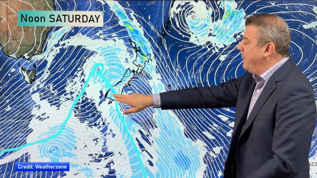
Severe gales, heavy West Coast rain, and temperature fluctuations are on the way as spring weather returns following a much more settled previous month for many.
The return of spring-weather may be frustrating for some, especially in the wind and temperature department with a cold change in the next 24 to 48 hours wiping several degrees off daytime highs, and by the end of the week, or Saturday, an even colder change goes up the South Island.
But in true December style most cold snaps are short lived – with further westerlies and heat on the way from Australia too, arriving as early as Sunday or next Monday. Spring-like in December can also mean some eastern, northern and inland areas can be hot.
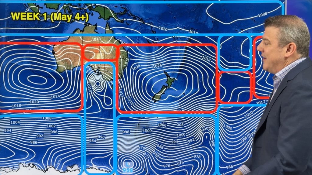
As for Christmas Day? The forecast is not locked in due to the unsettled/stormy weather pattern south of NZ that is driving our weather. We hope by this Thursday we can lock in Christmas Eve and Day with more certainty, but we have the latest map which shows westerlies and large dry areas.
Programming Notes:
- There is a tropical depression / borderline tropical cyclone between Vanuatu and Fiji today and in the days ahead looks to track north of Fiji bringing some rain, and may just clip Tonga’s northern islands. It looks to be more of a rain event and, for now, is avoiding most major centres. We have a special video today covering this.
- Summer Schedule — We have no weather videos tomorrow/Tuesday or Wednesday – but back again on Thursday!


Add new comment
Wayne on 16/12/2025 5:20am
Thanks for heads up on the weather for the Xmas period and beyond.
Reply
WW Forecast Team on 18/12/2025 1:56am
No worries Wayne 🙂
– WW
Reply