
Daily Downpours Developing, Warmer Weather too
3/11/2026 12:19pm
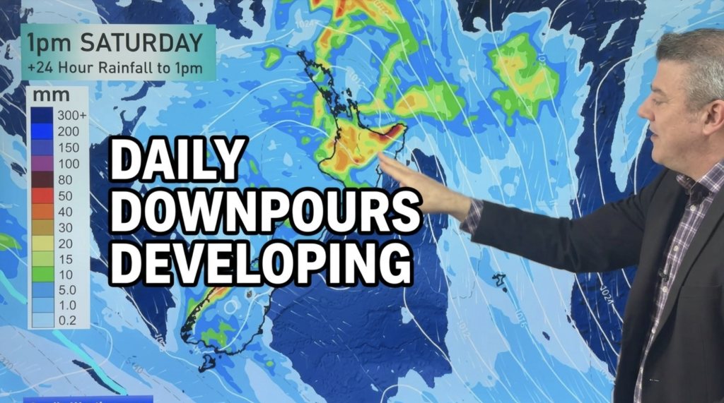
Lower pressure in the Tasman Sea is drifting towards the country by Friday and Saturday and it will bring the chance of downpours and isolated thunderstorms, especially late week and into Saturday for the upper North Island and north-west and western side of the South Island.
The eastern and southern sides of the South Island also have the chance of downpours or wet weather in the coming days, although eastern areas in both main islands from Hawke’s Bay to Canterbury look to be the driest, especially closest to the coast. Inland areas have a better chance of downpours.
This Friday and Saturday rainfall totals may exceed 80 to 100mm in some parts of both main islands – due to the hit and miss nature of these downpours we do expect the North & South Island rainfall maps to move around a little bit in the days ahead.
Latest Video
Daily Downpours Developing, Warmer Weather too
Lower pressure in the Tasman Sea is drifting towards the country by Friday and Saturday and it will bring the…
Related Articles
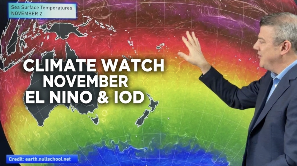
ClimateWatch: NOVEMBER outlook, El Niño & IOD
El Niño is going to peak over NOVEMBER & DECEMBER and now there is a Positive IOD (Indian Ocean Dipole)…
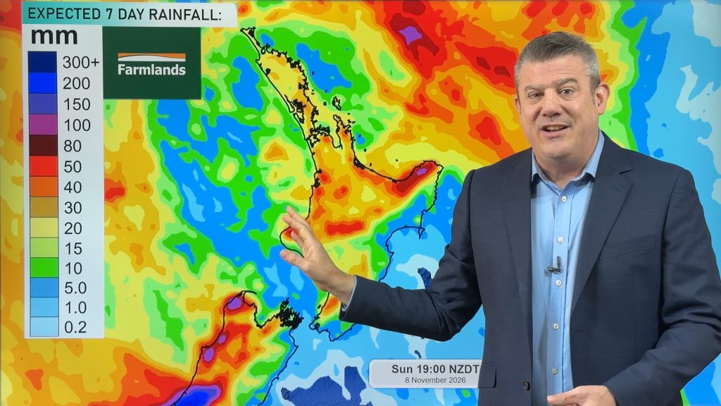
Downpours & Thunderstorms possible late week in dry regions
Showers increase this week, along with the warmth in most regions, with thunderstorms or at least downpours likely at times…
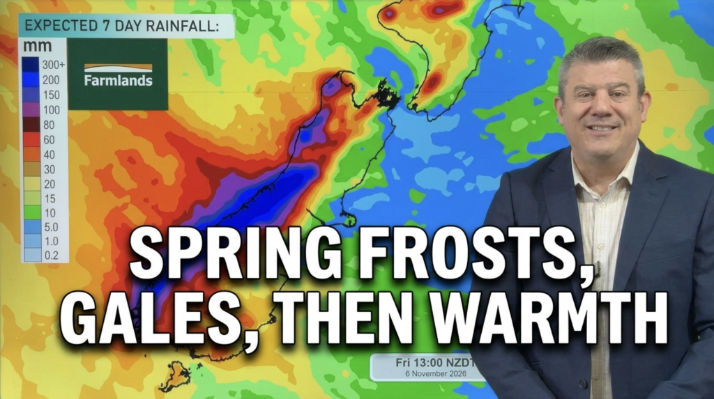
Frosts, temp lift, more gales Sun/Mon for some
The spring weather pattern shows no signs of stopping, but this weekend will have high pressure cross the upper North…