Settled today and for most of this week
11/05/2025 10:44pm
> From the WeatherWatch archives
Situation
A high pressure system covers most of the country today with it’s centre being planted in the Tasman Sea. A front way to the southwest streams out some high cloud ahead of it over the South Island.

Rain
Dry for most today however we have a few light showers pushing into the southwestern corner of the country in a westerly drift. East Cape and perhaps Northland may see a shower or two also as an airflow moving around our high moves into these areas.
Temperatures
A fairly average day for the time of year temperature wise, mostly sticking around the mid teens for the South Island and reaching into the late teens for parts of the North Island. Tomorrow has a boost Otago Peninsula north in the east as the flow turns more northwest but it doesn’t last for too long as a cold front develops about the far south in the morning reaching the lower North Island later in the evening.

Winds
Today and most of this coming week don’t see overly strong winds, tomorrow as southwesterlies freshen up for the eastern South Island winds may get strong for a time about coastal areas but that is mostly about it. It’s not till we get to the coming weekend that a system moves in with potentially strong northwesterlies preceding a cold front then changing southwest in behind.
Upcoming potential severe weather
We have to look ahead to the coming weekend when a low moves in from the Tasman joining up with a cold front pushing in from the southwest. As touched on just above strong northwesterlies may develop over the country on Saturday then Sunday the flow changes southwest. Heavy rain may be an issue for some in the west then there is the potential for snow, but at this stage it looks to mostly be up high however we’ll keep apace with any changes in data as we move forward.


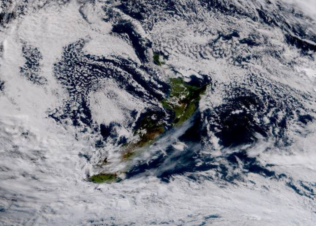
Main story image: Satellite 12th May 2025 10:00am. True colour satellite imagery courtesy of the Himawari satellite from Japan Meteorological Agency.
Comments
Latest Video

Cold weekend, frosts return with high pressure, then a low late next week
The subantarctic airflow spreads over NZ today/tonight and into Saturday, dropping temperatures nationwide. Snow flurries are possible today to lower…
Related Articles
Cold weekend, frosts return with high pressure, then a low late next week
The subantarctic airflow spreads over NZ today/tonight and into Saturday, dropping temperatures nationwide. Snow flurries are possible today to lower…

Wintry burst of weather: Snow, squally showers then sunshine & frosts
A polar change (another one!) arrives on Friday for the South Island and goes nationwide on Saturday, leaving NZ under…

Antarctic southerly for parts of NZ Fri & Sat
For the first time this year a southerly from off Antarctica is heading towards the South Island, followed by more…


Back on on 12/05/2025 7:31pm
Back on deck when