
Series of lows to bring rain & downpours to parts of NZ
5/11/2026 11:29am
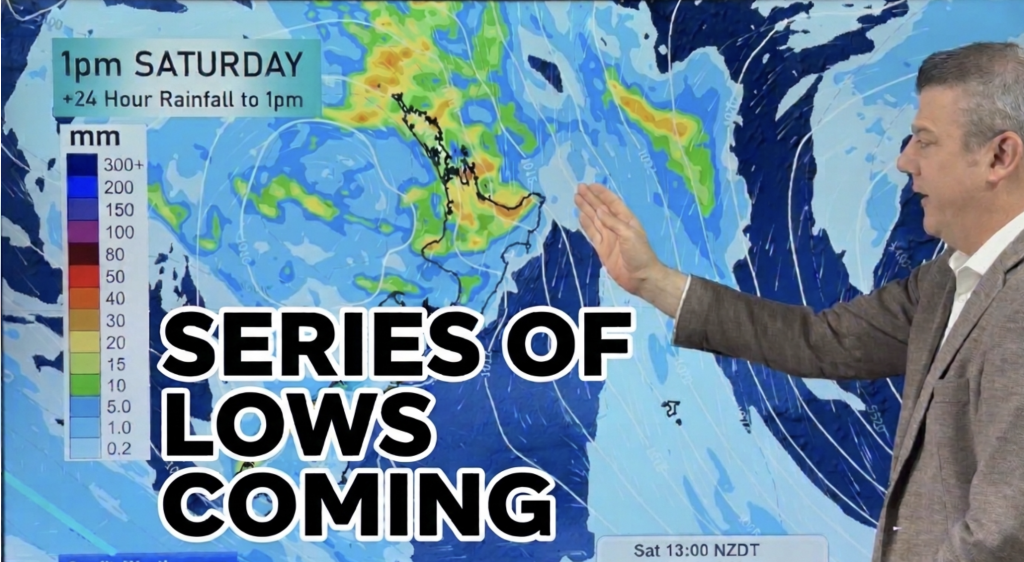
Low pressure is moving in this weekend, then another low is coming next week, as spring ups and downs continue. The subtropical northerly flow at the moment is boosting temperatures across the country with the milder airflow (and frost-free set up) in place for probably at least another week.
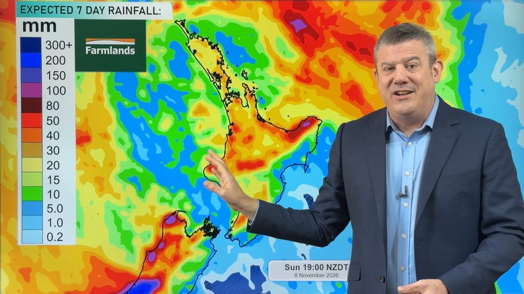
Today’s video tracks the lows and highs as they move through and breaks down the weekend rain and downpours and which regions are most likely to get the most wet weather – and which areas are most likely to miss out.
We have 7 day North & South Island rainfall maps to make sense of it all.
TECHNICAL ISSUE:
- We are aware there is a buzzing/static sound at times with the microphone/audio for some of you. We’re hoping this will be fixed by Friday’s update. Apologies for any issues today.
Latest Video
Series of lows to bring rain & downpours to parts of NZ
Low pressure is moving in this weekend, then another low is coming next week, as spring ups and downs continue….
Related Articles
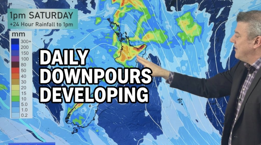
Daily Downpours Developing, Warmer Weather too
Lower pressure in the Tasman Sea is drifting towards the country by Friday and Saturday and it will bring the…
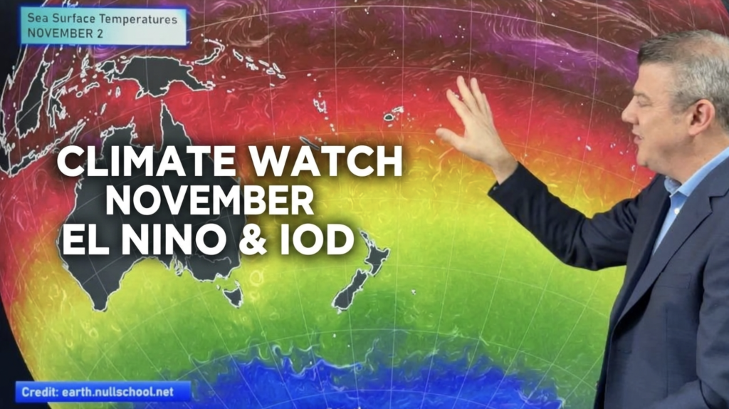
ClimateWatch: NOVEMBER outlook, El Niño & IOD
El Niño is going to peak over NOVEMBER & DECEMBER and now there is a Positive IOD (Indian Ocean Dipole)…
Downpours & Thunderstorms possible late week in dry regions
Showers increase this week, along with the warmth in most regions, with thunderstorms or at least downpours likely at times…