Polar blast: Tough windchill for livestock + latest on snow potential (+5 Maps)
25/06/2021 9:19pm

> From the WeatherWatch archives
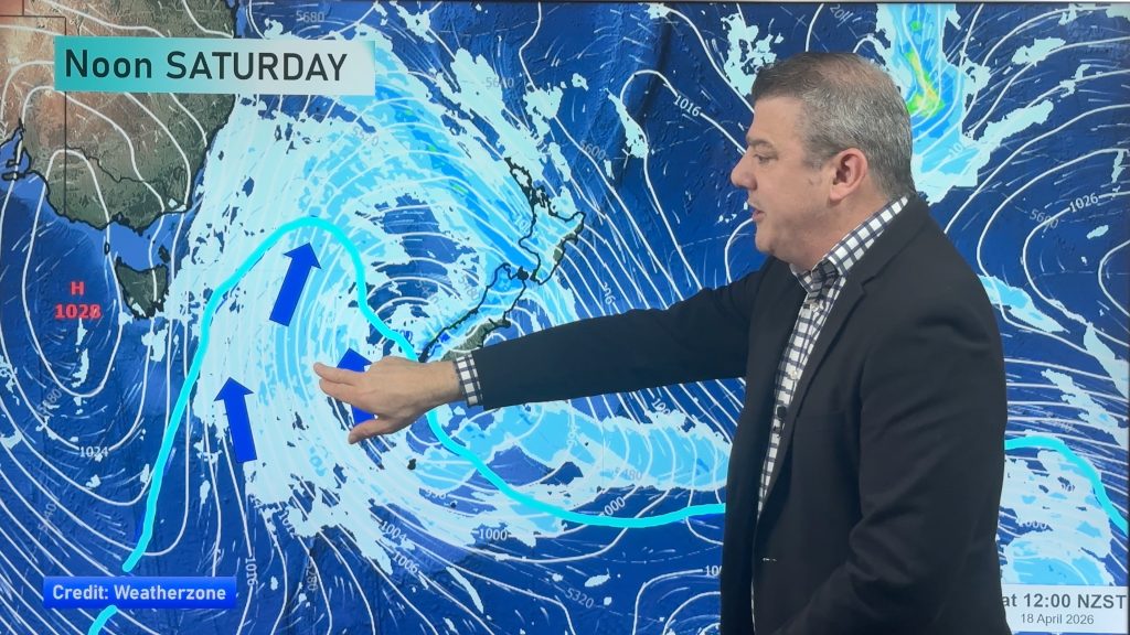
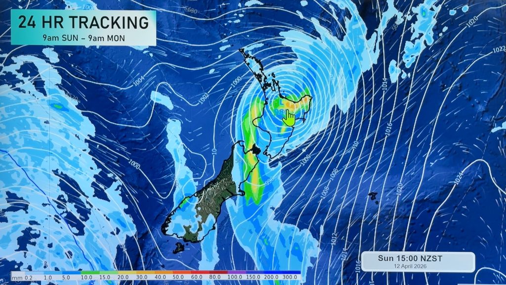
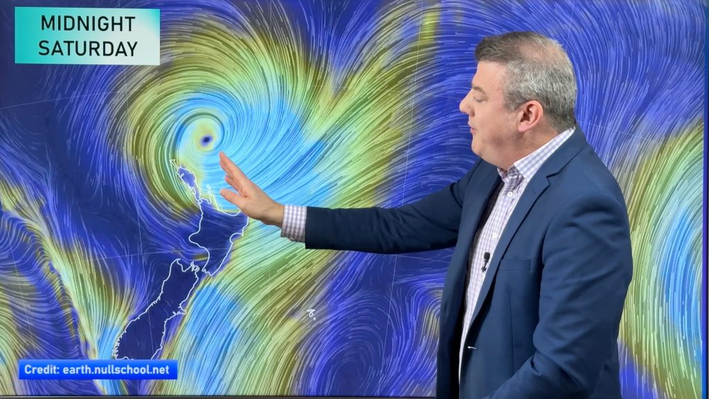
Gales, heavy rain and mild conditions for late June will impact NZ this weekend with a polar change on Monday to Wednesday spreading right across the country.
Snow is possible to sea level for a time in parts of Southland, Fiordland and Otago with heavy snow on the ranges and hilltops.
Wind chill may be the main problem for many southern farmers with livestock exposed to sub-zero daytime temperatures in the wind around Southland and Otago and potentially Canterbury’s high country.
SNOW:
WeatherWatch.co.nz and RuralWeather.co.nz forecasts will show the snow icon if snow is quite likely to fall. Sometimes searching for nearby places may help you work out where the highest risks are for snowfall.
Places most likely to get snow:
- Queenstown
- Arrowtown
- Gore
- Cromwell
- Dunedin’s hilltop suburbs
- Lumsden
- Te Anau
- Arthur’s Pass
- Waiouru / The Desert Road
- Ohakune
- National Park
Places borderline for snow:
- Bluff
- Invercargill
- Alexandra
- Dunedin’s CBD/sea level
- Milford Sound
- Taihape
Canterbury does have snow risks but the wind flow at this stage still looks mostly dry. Snow flurries are possible on the Canterbury plains, but accumulation looks very low and short lived at this stage. Please do keep up to date with forecasts as small changes in windflow can bring in more places exposed to snow.
WINDCHILL:
While snow is a concern for some farmers (and motorists too) it’s the windchill that may be more of an issue for livestock. Both islands are impacted by the cold, starting Monday in Southland and peaking in Northland by Wednesday morning.
- Lumsden/Gore/Balfour: Windchill of -3C or -4C at 12noon inland on Monday. Areas higher up (above 100 or 200m) will have windchill of -10C and below.
- Bluff, Invercargill: Windchill hovering around 0C for much of Monday.
- Dunedin: Windchill of -2C or -3C dropping to -4C towards Monday night and -6C higher up in exposed places.
- Ashburton: Windchill of -2C on Tuesday morning, lifting to +2C by Noon.
- Greymouth: +1C windchill on Tuesday morning, warms up to +6C by noon.
- Akaroa: -2C windchill on Tuesday morning at sea level, even colder higher up.
- Christchurch: -2C windchill on Tuesday morning, will feel like +2C at 12noon.
- Wellington: +2C windchill on Tuesday morning, feels like +3C at noon.
- Ohakune: -4C windchill later on Tuesday.
- Waiouru: -6C windchill on Tuesday evening.
- Gisborne: +6C windchill Noon Tuesday.
- Auckland: Windchill of +4C at sunrise, windchill lifts to +10C at Noon.
MetService Warnings – Can now all be found on the WeatherWatch website: www.weatherwatch.co.nz/maps-radars/warnings/metservice

– Will it snow at my place?
– How cold will the windchill be?
– How much rain is coming?
– What’s the chance of frost?
– All these questions can be answered at www.RuralWeather.co.nz – we have NZ’s largest weather data website and are NZ’s most local weather forecaster.


Comments
Before you add a new comment, take note this story was published on 25 Jun 2021.


Add new comment