Polar Blast: Cold peaks today in the south, 24 hours later in the north (+12 new Maps)
27/06/2021 8:01pm

> From the WeatherWatch archives
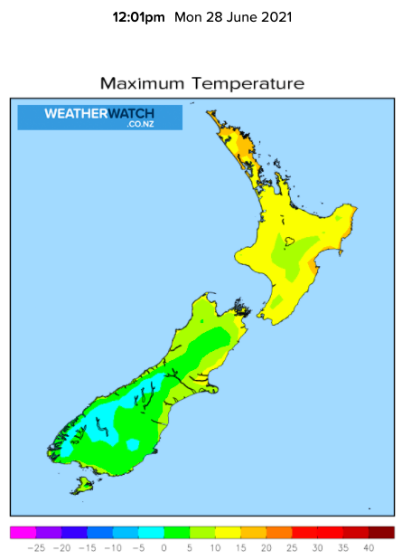
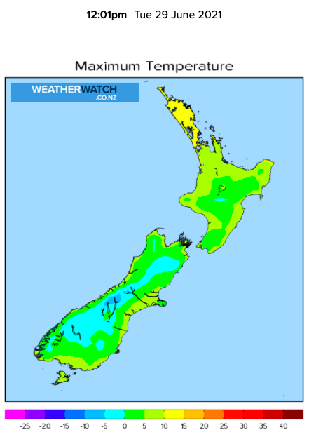
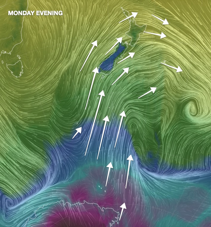
We have the latest snow map and upcoming temperatures as the main polar change arrives in the lower South Island. The air will progressively get colder today in southern NZ before marching northwards over the rest of New Zealand tonight and across Tuesday.
Windchill will vary from around +1 to -5C at sea level in Southland, Fiordland and Otago, with windchill of -10C on low level ranges/farms and up to -20C on the mountain tops (where no one lives, but gives an understanding of how cold this Antarctic air is).
The colder the air is, the drier the air is – so snow and rainfall accumulation isn’t overly excessive for most but clearly Southland and Otago will have the heaviest snow falls, above 100 or 200m (and heaviest above 400m) with 30 to 40cm possible. Central Plateau will get several centimetres of snow.
You will find full details around windchill, windspeed, accumulation and all the other hourly and daily weather data you need – all hyper local right across New Zealand – at www.RuralWeather.co.nz (and some of that information is also in our daily WeatherWatch forecasts too + all the maps at WeatherWatch).


https://www.weatherwatch.co.nz/maps-radars
https://www.weatherwatch.co.nz/maps-radars
https://www.weatherwatch.co.nz/maps-radars

https://www.weatherwatch.co.nz/maps-radars


Latest Video

Antarctic southerly for parts of NZ Fri & Sat
For the first time this year a southerly from off Antarctica is heading towards the South Island, followed by more…
Related Articles
Antarctic southerly for parts of NZ Fri & Sat
For the first time this year a southerly from off Antarctica is heading towards the South Island, followed by more…

Meteors – Your Eyewitness Reports!
WeatherWatch.co.nz receives meteor reports from all over New Zealand and the globe, 24/7/365. **CASUAL COMMENTS**If you’ve seen something in the…

Snow, rain showers & cold polar southerlies set to return
Friday will be a wintry day across NZ as the next cold front arrives, bringing snow to lower levels of…

