Move over humidity, cooler air is coming!
8/12/2020 10:20pm

> From the WeatherWatch archives
The tropics have come to the North Island, bringing high humidity as airflows from Fiji and Tonga spread down our way.
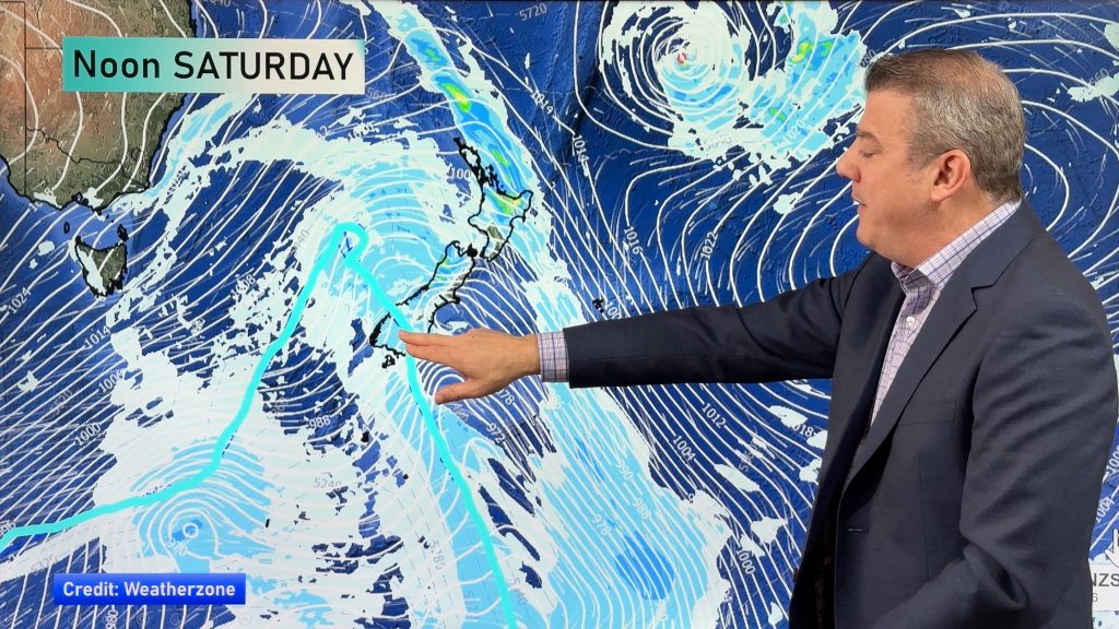
The humid airflow, coming from north and north east of New Zealand, is currently being pulled down over us by a large high pressure system…a high that is now slowly departing to the east (and taking the humidity with it).
Across Thursday and into Friday a cooler change will spread up the country.
The West Coast of the South Island will have overnight lows on Thursday night/Friday morning in the mid teens. The highs on Friday will then only be about 1 degree warmer!
This cooler change will see humidity levels drop significantly, in particular across the North Island which has been under this humid airflow since Monday.
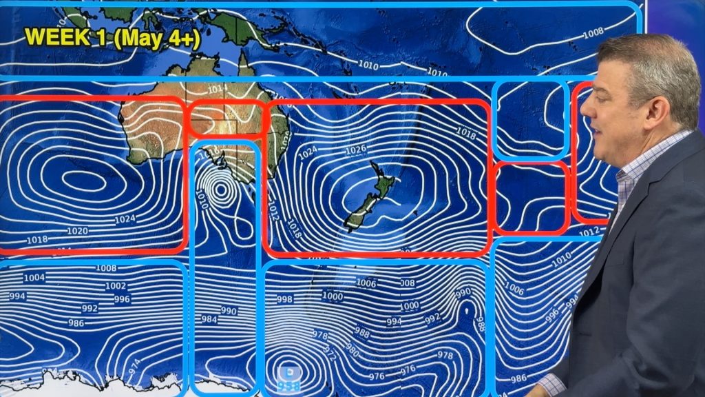
Humidity isn’t likely to increase again until mid to late next week with cooler, less humid, sou’west flow dominating until early next week then a large high rolls in. It’s after this high pressure belt one week from today that those humid winds may start to return. This is also when a potential cyclone may be drifting down over NZ waters too, for the following week.
To see your temperature trends – see the HOURLY local weather forecasts at both WeatherWatch.co.nz and www.RuralWeather.co.nz.
Comments
Before you add a new comment, take note this story was published on 8 Dec 2020.


Add new comment